Area Overview for B67 7RF
Photos of B67 7RF
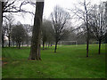
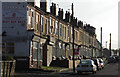
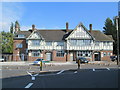
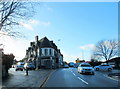
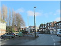
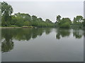
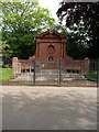
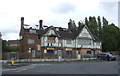
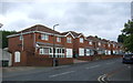
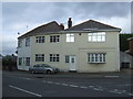
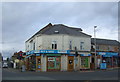
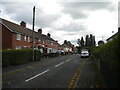
24 photos from this area
Area Information
Key information about the B67 7RF including its size, population, and administrative classification.
- Area Type
- Postcode
- Area Size
- 6948 m²
- Population
- 1423
- Population Density
- 4221 people/km²
House Prices in B67 7RF
22
Properties
£122,569
Average Sold Price
£51,000
Lowest Price
£205,000
Highest Price
Showing 22 properties
| Address | Type | Beds | Baths | Last Sale Price | Last Sale Date | |
|---|---|---|---|---|---|---|
| 14 Hitchcock Close, Smethwick, B67 7RF | Terraced | 2 | 1 | £205,000 | Feb 2025 | |
| 19 Hitchcock Close, Smethwick, B67 7RF | Terraced | 2 | 1 | £185,000 | Apr 2024 | |
| 17 Hitchcock Close, Smethwick, B67 7RF | Terraced | 2 | 1 | £158,000 | Jan 2022 | |
| 21 Hitchcock Close, Smethwick, B67 7RF | house | - | - | £180,000 | Aug 2021 | |
| 20 Hitchcock Close, Smethwick, B67 7RF | house | 3 | 1 | £172,000 | Mar 2019 | |
| 15 Hitchcock Close, Smethwick, B67 7RF | Terraced | 2 | 1 | £130,000 | Dec 2017 | |
| 9 Hitchcock Close, Smethwick, B67 7RF | house | - | - | £118,985 | Jul 2016 | |
| 5 Hitchcock Close, Smethwick, B67 7RF | house | - | - | £110,000 | Jun 2016 | |
| 1 Hitchcock Close, Smethwick, B67 7RF | house | - | - | £180,000 | Apr 2016 | |
| 16 Hitchcock Close, Smethwick, B67 7RF | Terraced | 2 | 1 | £107,000 | Dec 2013 |
Page 1 of 3
Energy Efficiency in B67 7RF
Amenities
Schools
| Rank | School | Type | Entry gender | Ages |
|---|
Explore more schools in this area
Go to Schools tabDemographics
Household Size
Family (3-5 people)
most common
Accommodation Type
Houses
most common
Tenure
54
majority
Ethnic Group
asian_total
most common
Religion
N/A
most common
Household Composition
N/A
most common
Age
47
median
Adults (30-64 years)
most common
Household Deprivation
N/A
with no deprivation
NS-SEC
18
in Lower managerial occupations
Explore more demographic insights in this area
Go to Demographics tabPlanning
Planning Constraints
- Flood RiskPremium
- Ramsar Wetland SitesPremium
- Area of Outstanding Natural BeautyPremium
- Protected Nature ReservePremium
- Protected WoodlandPremium