Area Overview for B67 6LY
Photos of B67 6LY
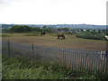
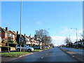
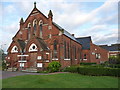
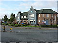
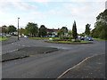
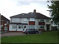
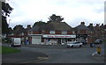
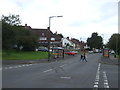
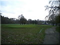
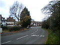
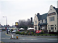
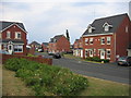
17 photos from this area
Area Information
Key information about the B67 6LY including its size, population, and administrative classification.
- Area Type
- Postcode
- Area Size
- 1.3 hectares
- Population
- 1632
- Population Density
- 7842 people/km²
House Prices in B67 6LY
34
Properties
£117,497
Average Sold Price
£34,500
Lowest Price
£215,000
Highest Price
Showing 34 properties
| Address | Type | Beds | Baths | Last Sale Price | Last Sale Date | |
|---|---|---|---|---|---|---|
| 65 Hurst Road, Smethwick, B67 6LY | Semi-detached | 3 | 1 | £215,000 | Nov 2023 | |
| 107 Hurst Road, Smethwick, B67 6LY | Terraced | 3 | 1 | £120,000 | Aug 2023 | |
| 105 Hurst Road, Smethwick, B67 6LY | house | - | - | £170,000 | Sep 2021 | |
| 89 Hurst Road, Smethwick, B67 6LY | Terraced | 3 | 1 | £180,000 | Aug 2021 | |
| 103 Hurst Road, Smethwick, B67 6LY | Terraced | 3 | 1 | £165,000 | May 2020 | |
| 59 Hurst Road, Smethwick, B67 6LY | Semi-detached | 3 | 1 | £109,000 | May 2016 | |
| 109 Hurst Road, Smethwick, B67 6LY | Semi-detached | 3 | - | £121,000 | Jan 2015 | |
| 81 Hurst Road, Smethwick, B67 6LY | Terraced | 3 | - | £112,500 | Aug 2014 | |
| 77 Hurst Road, Smethwick, B67 6LY | house | 3 | 1 | £110,000 | Oct 2012 | |
| 83 Hurst Road, Smethwick, B67 6LY | house | - | - | £107,000 | Jul 2009 |
Page 1 of 4
Energy Efficiency in B67 6LY
Amenities
Schools
| Rank | School | Type | Entry gender | Ages |
|---|
Explore more schools in this area
Go to Schools tabDemographics
Household Size
Family (3-5 people)
most common
Accommodation Type
Houses
most common
Tenure
54
majority
Ethnic Group
White
most common
Religion
N/A
most common
Household Composition
N/A
most common
Age
47
median
Adults (30-64 years)
most common
Household Deprivation
N/A
with no deprivation
NS-SEC
18
in Lower managerial occupations
Explore more demographic insights in this area
Go to Demographics tabPlanning
Planning Constraints
- Flood RiskPremium
- Ramsar Wetland SitesPremium
- Area of Outstanding Natural BeautyPremium
- Protected Nature ReservePremium
- Protected WoodlandPremium