Area Overview for B67 6AQ
Photos of B67 6AQ
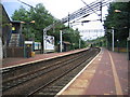
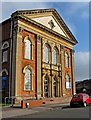
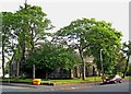
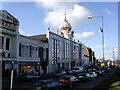
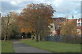
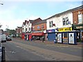
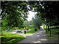
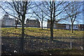
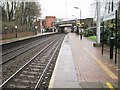
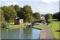
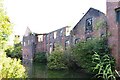
100 photos from this area
Area Information
Key information about the B67 6AQ including its size, population, and administrative classification.
- Area Type
- Postcode
- Area Size
- 2164 m²
- Population
- 2018
- Population Density
- 14666 people/km²
House Prices in B67 6AQ
13
Properties
£88,645
Average Sold Price
£31,000
Lowest Price
£163,000
Highest Price
Showing 13 properties
| Address | Type | Beds | Baths | Last Sale Price | Last Sale Date | |
|---|---|---|---|---|---|---|
| 47 Arden Road, Smethwick, B67 6AQ | Terraced | 2 | 1 | £163,000 | Oct 2022 | |
| 65 Arden Road, Smethwick, B67 6AQ | Terraced | 2 | 1 | £146,500 | Jan 2022 | |
| 59 Arden Road, Smethwick, B67 6AQ | house | - | - | £160,000 | Mar 2021 | |
| 61 Arden Road, Smethwick, B67 6AQ | Terraced | 2 | 1 | £119,000 | May 2008 | |
| 49 Arden Road, Smethwick, B67 6AQ | Terraced | 3 | - | £85,000 | Feb 2006 | |
| 41 Arden Road, Smethwick, B67 6AQ | house | - | - | £49,000 | Sep 2002 | |
| 43 Arden Road, Smethwick, B67 6AQ | Terraced | - | - | £58,950 | Aug 2002 | |
| 53 Arden Road, Smethwick, B67 6AQ | Terraced | - | - | £36,000 | Jul 1999 | |
| 45 Arden Road, Smethwick, B67 6AQ | house | - | - | £38,000 | Mar 1997 | |
| 57 Arden Road, Smethwick, B67 6AQ | Terraced | 1 | - | £31,000 | Feb 1995 |
Page 1 of 2
Energy Efficiency in B67 6AQ
Amenities
Schools
| Rank | School | Type | Entry gender | Ages |
|---|
Explore more schools in this area
Go to Schools tabDemographics
Household Size
Family (3-5 people)
most common
Accommodation Type
Houses
most common
Tenure
48
majority
Ethnic Group
asian_total
most common
Religion
N/A
most common
Household Composition
N/A
most common
Age
47
median
Adults (30-64 years)
most common
Household Deprivation
N/A
with no deprivation
NS-SEC
14
in Lower managerial occupations
Explore more demographic insights in this area
Go to Demographics tabPlanning
Planning Constraints
- Flood RiskPremium
- Ramsar Wetland SitesPremium
- Area of Outstanding Natural BeautyPremium
- Protected Nature ReservePremium
- Protected WoodlandPremium