Area Overview for B67 5NT
Photos of B67 5NT
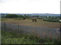
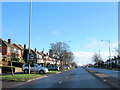
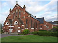
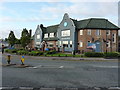
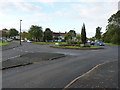
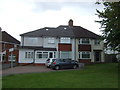
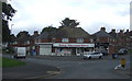
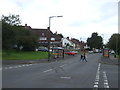
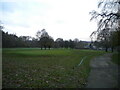
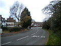
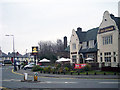
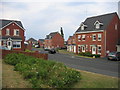
17 photos from this area
Area Information
Key information about the B67 5NT including its size, population, and administrative classification.
- Area Type
- Postcode
- Area Size
- 4293 m²
- Population
- 1520
- Population Density
- 6454 people/km²
House Prices in B67 5NT
10
Properties
£138,833
Average Sold Price
£45,000
Lowest Price
£214,000
Highest Price
Showing 10 properties
| Address | Type | Beds | Baths | Last Sale Price | Last Sale Date | |
|---|---|---|---|---|---|---|
| 126 Norman Road, Smethwick, B67 5NT | house | - | - | £192,000 | Jan 2022 | |
| 138 Norman Road, Smethwick, B67 5NT | Semi-detached | 3 | 2 | £137,000 | May 2015 | |
| 124 Norman Road, Smethwick, B67 5NT | Semi-detached | 3 | 1 | £110,000 | Nov 2012 | |
| 120 Norman Road, Smethwick, B67 5NT | Semi-detached | 4 | 2 | £214,000 | Mar 2012 | |
| 128 Norman Road, Smethwick, B67 5NT | house | - | - | £135,000 | Feb 2008 | |
| 122 Norman Road, Smethwick, B67 5NT | Semi-detached | 3 | 1 | £45,000 | Oct 1996 | |
| 132 Norman Road, Smethwick, B67 5NT | house | - | - | - | - | |
| 130 Norman Road, Smethwick, B67 5NT | Semi-detached | - | - | - | - | |
| 134 Norman Road, Smethwick, B67 5NT | house | - | - | - | - | |
| 136 Norman Road, Smethwick, B67 5NT | house | - | - | - | - |
Energy Efficiency in B67 5NT
Amenities
Schools
| Rank | School | Type | Entry gender | Ages |
|---|
Explore more schools in this area
Go to Schools tabDemographics
Household Size
Family (3-5 people)
most common
Accommodation Type
Houses
most common
Tenure
73
majority
Ethnic Group
White
most common
Religion
N/A
most common
Household Composition
N/A
most common
Age
47
median
Adults (30-64 years)
most common
Household Deprivation
N/A
with no deprivation
NS-SEC
31
in Lower managerial occupations
Explore more demographic insights in this area
Go to Demographics tabPlanning
Planning Constraints
- Flood RiskPremium
- Ramsar Wetland SitesPremium
- Area of Outstanding Natural BeautyPremium
- Protected Nature ReservePremium
- Protected WoodlandPremium