Area Overview for B67 5LW
Photos of B67 5LW
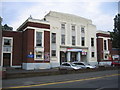
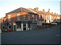
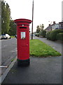
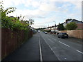
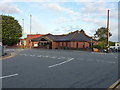
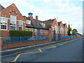
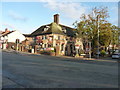
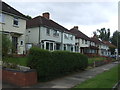
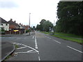
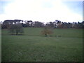
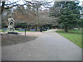
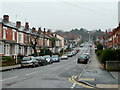
18 photos from this area
Area Information
Key information about the B67 5LW including its size, population, and administrative classification.
- Area Type
- Postcode
- Area Size
- 3904 m²
- Population
- 1408
- Population Density
- 8800 people/km²
House Prices in B67 5LW
15
Properties
£113,117
Average Sold Price
£46,000
Lowest Price
£175,000
Highest Price
Showing 15 properties
| Address | Type | Beds | Baths | Last Sale Price | Last Sale Date | |
|---|---|---|---|---|---|---|
| 95 Abbey Road, Smethwick, B67 5LW | Terraced | 3 | 2 | £105,000 | Jul 2014 | |
| 81 Abbey Road, Smethwick, B67 5LW | Terraced | 3 | - | £131,000 | Jun 2014 | |
| 89 Abbey Road, Smethwick, B67 5LW | Terraced | 3 | - | £136,000 | Mar 2014 | |
| 71 Abbey Road, Smethwick, B67 5LW | Terraced | 3 | 1 | £175,000 | Dec 2013 | |
| 83 Abbey Road, Smethwick, B67 5LW | house | 1 | 1 | £157,000 | Jul 2006 | |
| 73 Abbey Road, Smethwick, B67 5LW | Terraced | 3 | 2 | £139,800 | Jul 2005 | |
| 93 Abbey Road, Smethwick, B67 5LW | Terraced | - | - | £59,000 | Jul 1999 | |
| 79 Abbey Road, Smethwick, B67 5LW | Terraced | - | - | £69,250 | May 1998 | |
| 97 Abbey Road, Smethwick, B67 5LW | Terraced | - | - | £46,000 | Nov 1997 | |
| 99 Abbey Road, Smethwick, B67 5LW | Terraced | - | - | - | - |
Page 1 of 2
Energy Efficiency in B67 5LW
Amenities
Schools
| Rank | School | Type | Entry gender | Ages |
|---|
Explore more schools in this area
Go to Schools tabDemographics
Household Size
Family (3-5 people)
most common
Accommodation Type
Houses
most common
Tenure
63
majority
Ethnic Group
White
most common
Religion
N/A
most common
Household Composition
N/A
most common
Age
47
median
Adults (30-64 years)
most common
Household Deprivation
N/A
with no deprivation
NS-SEC
42
in Lower managerial occupations
Explore more demographic insights in this area
Go to Demographics tabPlanning
Planning Constraints
- Flood RiskPremium
- Ramsar Wetland SitesPremium
- Area of Outstanding Natural BeautyPremium
- Protected Nature ReservePremium
- Protected WoodlandPremium