Area Overview for B67 5EA
Photos of B67 5EA
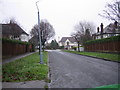
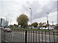
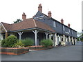
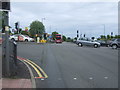
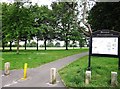
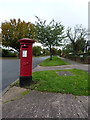
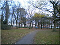
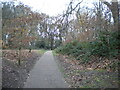
18 photos from this area
Area Information
Key information about the B67 5EA including its size, population, and administrative classification.
- Area Type
- Postcode
- Area Size
- 2.3 hectares
- Population
- 1455
- Population Density
- 1966 people/km²
House Prices in B67 5EA
33
Properties
£297,645
Average Sold Price
£92,000
Lowest Price
£590,000
Highest Price
Showing 33 properties
| Address | Type | Beds | Baths | Last Sale Price | Last Sale Date | |
|---|---|---|---|---|---|---|
| 14 Lightwoods Hill, Smethwick, B67 5EA | house | - | - | £590,000 | Aug 2022 | |
| 63 Lightwoods Hill, Smethwick, B67 5EA | house | - | - | £350,000 | Dec 2020 | |
| 24 Lightwoods Hill, Smethwick, B67 5EA | house | - | - | £475,000 | Oct 2020 | |
| 12 Lightwoods Hill, Smethwick, B67 5EA | house | - | - | £447,000 | Jul 2018 | |
| 65 Lightwoods Hill, Smethwick, B67 5EA | Semi-detached | 3 | 2 | £297,000 | Apr 2017 | |
| 57 Lightwoods Hill, Smethwick, B67 5EA | Detached | 3 | 1 | £229,995 | Jun 2015 | |
| 71 Lightwoods Hill, Smethwick, B67 5EA | Semi-detached | 3 | - | £345,000 | Jun 2014 | |
| 40 Lightwoods Hill, Smethwick, B67 5EA | Semi-detached | 5 | 1 | £355,000 | Sep 2013 | |
| 38 Lightwoods Hill, Smethwick, B67 5EA | house | - | - | £343,000 | Jul 2013 | |
| 8 Lightwoods Hill, Smethwick, B67 5EA | Semi-detached | 5 | 1 | £320,000 | May 2013 |
Page 1 of 4
Energy Efficiency in B67 5EA
Amenities
Schools
| Rank | School | Type | Entry gender | Ages |
|---|
Explore more schools in this area
Go to Schools tabDemographics
Household Size
Family (3-5 people)
most common
Accommodation Type
Houses
most common
Tenure
76
majority
Ethnic Group
White
most common
Religion
N/A
most common
Household Composition
N/A
most common
Age
47
median
Adults (30-64 years)
most common
Household Deprivation
N/A
with no deprivation
NS-SEC
49
in Lower managerial occupations
Explore more demographic insights in this area
Go to Demographics tabPlanning
Planning Constraints
- Flood RiskPremium
- Ramsar Wetland SitesPremium
- Area of Outstanding Natural BeautyPremium
- Protected Nature ReservePremium
- Protected WoodlandPremium