Area Overview for B67 5DD
Photos of B67 5DD
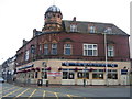
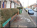
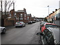
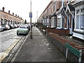
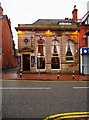
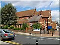
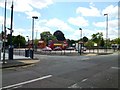
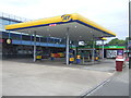
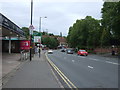
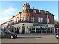
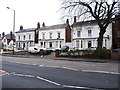
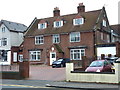
44 photos from this area
Area Information
Key information about the B67 5DD including its size, population, and administrative classification.
- Area Type
- Postcode
- Area Size
- 1.1 hectares
- Population
- Not available
- Population Density
- Not available
House Prices in B67 5DD
49
Properties
£241,046
Average Sold Price
£57,400
Lowest Price
£410,000
Highest Price
Showing 49 properties
| Address | Type | Beds | Baths | Last Sale Price | Last Sale Date | |
|---|---|---|---|---|---|---|
| 8 Herbert Road, Smethwick, B67 5DD | Terraced | 4 | 2 | £340,000 | Oct 2025 | |
| 16 Herbert Road, Smethwick, B67 5DD | Terraced | 3 | 1 | £325,000 | Jul 2024 | |
| 30 Herbert Road, Smethwick, B67 5DD | Terraced | 4 | 1 | £380,000 | Jul 2024 | |
| 31 Herbert Road, Smethwick, B67 5DD | Terraced | 3 | 2 | £308,500 | Jul 2023 | |
| 21 Herbert Road, Smethwick, B67 5DD | Terraced | 3 | 1 | £325,000 | May 2023 | |
| 37 Herbert Road, Smethwick, B67 5DD | Terraced | 3 | 1 | £243,500 | Dec 2022 | |
| 28 Herbert Road, Smethwick, B67 5DD | house | 3 | 1 | £327,000 | Mar 2022 | |
| 18 Herbert Road, Smethwick, B67 5DD | house | - | - | £247,000 | Jul 2021 | |
| 17 Herbert Road, Smethwick, B67 5DD | Terraced | 3 | 1 | £270,000 | May 2021 | |
| 32 Herbert Road, Smethwick, B67 5DD | house | - | - | £308,000 | Oct 2020 |
Page 1 of 5
Energy Efficiency in B67 5DD
Amenities
Schools
| Rank | School | Type | Entry gender | Ages |
|---|
Explore more schools in this area
Go to Schools tabDemographics
Household Size
One person
most common
Accommodation Type
Houses
most common
Tenure
53
majority
Ethnic Group
White
most common
Religion
N/A
most common
Household Composition
N/A
most common
Age
47
median
Adults (30-64 years)
most common
Household Deprivation
N/A
with no deprivation
NS-SEC
36
in Lower managerial occupations
Explore more demographic insights in this area
Go to Demographics tabPlanning
Planning Constraints
- Flood RiskPremium
- Ramsar Wetland SitesPremium
- Area of Outstanding Natural BeautyPremium
- Protected Nature ReservePremium
- Protected WoodlandPremium