Area Overview for B66 4TF
Photos of B66 4TF
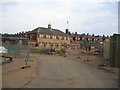
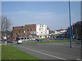
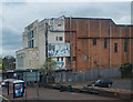
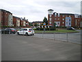
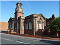
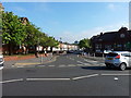
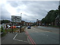
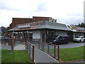
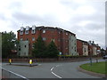
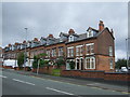
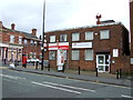
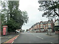
38 photos from this area
Area Information
Key information about the B66 4TF including its size, population, and administrative classification.
- Area Type
- Postcode
- Area Size
- 7462 m²
- Population
- 1690
- Population Density
- 14877 people/km²
House Prices in B66 4TF
46
Properties
£102,992
Average Sold Price
£83,000
Lowest Price
£178,000
Highest Price
Showing 46 properties
| Address | Type | Beds | Baths | Last Sale Price | Last Sale Date | |
|---|---|---|---|---|---|---|
| 20 Herbert James Close, Smethwick, B66 4TF | Flat | - | - | £128,000 | Oct 2022 | |
| 15 Herbert James Close, Smethwick, B66 4TF | Flat | - | - | £115,000 | Jun 2021 | |
| 10 Herbert James Close, Smethwick, B66 4TF | Flat | - | - | £115,000 | Feb 2019 | |
| 37 Herbert James Close, Smethwick, B66 4TF | Flat | - | - | £120,000 | Nov 2018 | |
| 17 Herbert James Close, Smethwick, B66 4TF | Flat | - | - | £115,000 | Jul 2018 | |
| 25 Herbert James Close, Smethwick, B66 4TF | Flat | - | - | £119,500 | Dec 2017 | |
| 33 Herbert James Close, Smethwick, B66 4TF | Flat | - | - | £113,000 | May 2017 | |
| 7 Herbert James Close, Smethwick, B66 4TF | Flat | 2 | 1 | £96,500 | Mar 2017 | |
| 27 Herbert James Close, Smethwick, B66 4TF | Flat | 2 | 1 | £85,000 | Aug 2014 | |
| 8 Herbert James Close, Smethwick, B66 4TF | Flat | - | - | £89,995 | Jul 2014 |
Page 1 of 5
Energy Efficiency in B66 4TF
Amenities
Schools
| Rank | School | Type | Entry gender | Ages |
|---|
Explore more schools in this area
Go to Schools tabDemographics
Household Size
Family (3-5 people)
most common
Accommodation Type
Houses
most common
Tenure
46
majority
Ethnic Group
asian_total
most common
Religion
N/A
most common
Household Composition
N/A
most common
Age
22
median
Adults (30-64 years)
most common
Household Deprivation
N/A
with no deprivation
NS-SEC
23
in Lower managerial occupations
Explore more demographic insights in this area
Go to Demographics tabPlanning
Planning Constraints
- Flood RiskPremium
- Ramsar Wetland SitesPremium
- Area of Outstanding Natural BeautyPremium
- Protected Nature ReservePremium
- Protected WoodlandPremium