Area Overview for B66 4SQ
Photos of B66 4SQ
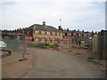
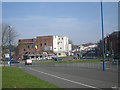
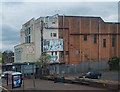
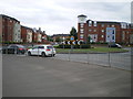
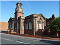
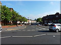
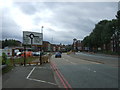
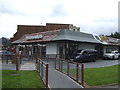
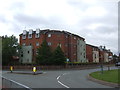
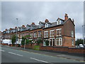
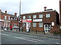
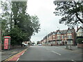
38 photos from this area
Area Information
Key information about the B66 4SQ including its size, population, and administrative classification.
- Area Type
- Postcode
- Area Size
- 6139 m²
- Population
- 1690
- Population Density
- 14877 people/km²
House Prices in B66 4SQ
19
Properties
£204,459
Average Sold Price
£166,000
Lowest Price
£268,500
Highest Price
Showing 19 properties
| Address | Type | Beds | Baths | Last Sale Price | Last Sale Date | |
|---|---|---|---|---|---|---|
| 2 William Savage Way, Smethwick, B66 4SQ | house | - | - | £268,500 | Sep 2019 | |
| 9 William Savage Way, Smethwick, B66 4SQ | Semi-detached | 4 | 2 | £220,000 | Jun 2019 | |
| 3 William Savage Way, Smethwick, B66 4SQ | Semi-detached | 3 | 3 | £230,000 | Apr 2017 | |
| 4 William Savage Way, Smethwick, B66 4SQ | Detached | 3 | 2 | £215,000 | Feb 2016 | |
| 22 William Savage Way, Smethwick, B66 4SQ | Detached | 3 | 2 | £175,000 | Oct 2011 | |
| 20 William Savage Way, Smethwick, B66 4SQ | Detached | 3 | 2 | £175,000 | Jun 2011 | |
| 6 William Savage Way, Smethwick, B66 4SQ | house | - | - | £195,000 | Nov 2010 | |
| 8 William Savage Way, Smethwick, B66 4SQ | house | - | - | £210,000 | Nov 2010 | |
| 12 William Savage Way, Smethwick, B66 4SQ | house | - | - | £189,950 | Oct 2010 | |
| 10 William Savage Way, Smethwick, B66 4SQ | house | - | - | £186,950 | Oct 2010 |
Page 1 of 2
Energy Efficiency in B66 4SQ
Amenities
Schools
| Rank | School | Type | Entry gender | Ages |
|---|
Explore more schools in this area
Go to Schools tabDemographics
Household Size
Family (3-5 people)
most common
Accommodation Type
Houses
most common
Tenure
46
majority
Ethnic Group
asian_total
most common
Religion
N/A
most common
Household Composition
N/A
most common
Age
22
median
Adults (30-64 years)
most common
Household Deprivation
N/A
with no deprivation
NS-SEC
23
in Lower managerial occupations
Explore more demographic insights in this area
Go to Demographics tabPlanning
Planning Constraints
- Flood RiskPremium
- Ramsar Wetland SitesPremium
- Area of Outstanding Natural BeautyPremium
- Protected Nature ReservePremium
- Protected WoodlandPremium