Area Overview for B66 4DT
Photos of B66 4DT

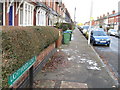
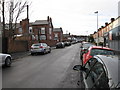
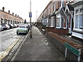

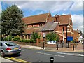


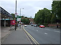
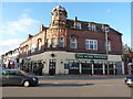
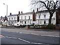
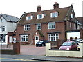
44 photos from this area
Area Information
Key information about the B66 4DT including its size, population, and administrative classification.
- Area Type
- Postcode
- Area Size
- 7313 m²
- Population
- Not available
- Population Density
- Not available
House Prices in B66 4DT
41
Properties
£111,310
Average Sold Price
£29,500
Lowest Price
£192,600
Highest Price
Showing 41 properties
| Address | Type | Beds | Baths | Last Sale Price | Last Sale Date | |
|---|---|---|---|---|---|---|
| 20 Talbot Road, Smethwick, B66 4DT | Terraced | 2 | 2 | £192,600 | Sep 2025 | |
| 10 Talbot Road, Smethwick, B66 4DT | Terraced | 3 | 2 | £134,000 | Feb 2025 | |
| 6 Talbot Road, Smethwick, B66 4DT | Terraced | 2 | 1 | £189,000 | Aug 2021 | |
| 36 Talbot Road, Smethwick, B66 4DT | Terraced | 2 | 1 | £173,500 | Apr 2021 | |
| 74 Talbot Road, Smethwick, B66 4DT | house | - | - | £133,000 | Oct 2019 | |
| 58 Talbot Road, Smethwick, B66 4DT | Terraced | 2 | 1 | £142,000 | Jul 2019 | |
| 4 Talbot Road, Smethwick, B66 4DT | Terraced | 3 | 1 | £165,000 | Mar 2019 | |
| 12 Talbot Road, Smethwick, B66 4DT | Terraced | 3 | 1 | £137,000 | Dec 2018 | |
| 54 Talbot Road, Smethwick, B66 4DT | Terraced | 3 | 1 | £120,000 | Jan 2017 | |
| 70 Talbot Road, Smethwick, B66 4DT | Terraced | 2 | 1 | £119,500 | Feb 2016 |
Page 1 of 5
Energy Efficiency in B66 4DT
Amenities
Schools
| Rank | School | Type | Entry gender | Ages |
|---|
Explore more schools in this area
Go to Schools tabDemographics
Household Size
Two person
most common
Accommodation Type
Houses
most common
Tenure
46
majority
Ethnic Group
White
most common
Religion
N/A
most common
Household Composition
N/A
most common
Age
47
median
Adults (30-64 years)
most common
Household Deprivation
N/A
with no deprivation
NS-SEC
28
in Lower managerial occupations
Explore more demographic insights in this area
Go to Demographics tabPlanning
Planning Constraints
- Flood RiskPremium
- Ramsar Wetland SitesPremium
- Area of Outstanding Natural BeautyPremium
- Protected Nature ReservePremium
- Protected WoodlandPremium