Area Overview for B66 3QL
Photos of B66 3QL
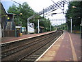
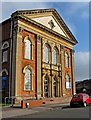
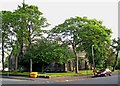
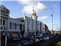
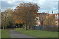
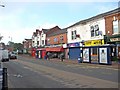
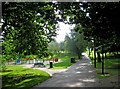
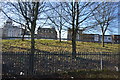
100 photos from this area
Area Information
Key information about the B66 3QL including its size, population, and administrative classification.
- Area Type
- Postcode
- Area Size
- 4.4 hectares
- Population
- 2170
- Population Density
- 5601 people/km²
House Prices in B66 3QL
51
Properties
£112,906
Average Sold Price
£66,100
Lowest Price
£269,000
Highest Price
Showing 51 properties
| Address | Type | Beds | Baths | Last Sale Price | Last Sale Date | |
|---|---|---|---|---|---|---|
| 68 Victoria Park Road, Smethwick, B66 3QL | Semi-detached | 6 | 2 | £269,000 | May 2024 | |
| 94 Victoria Park Road, Smethwick, B66 3QL | Retail | 3 | 1 | £180,000 | Mar 2022 | |
| 84 Victoria Park Road, Smethwick, B66 3QL | house | - | - | £90,000 | Aug 2018 | |
| 62 Victoria Park Road, Smethwick, B66 3QL | Semi-detached | 6 | - | £210,000 | Mar 2016 | |
| 100 Victoria Park Road, Smethwick, B66 3QL | house | - | - | £75,000 | Mar 2006 | |
| 80 Victoria Park Road, Smethwick, B66 3QL | house | - | - | £120,000 | Sep 2004 | |
| 65 Victoria Park Road, Smethwick, B66 3QL | Semi-detached | - | - | £103,500 | Apr 2004 | |
| 78 Victoria Park Road, Smethwick, B66 3QL | house | - | - | £107,000 | Feb 2004 | |
| 101 Victoria Park Road, Smethwick, B66 3QL | house | - | - | £69,500 | Jun 2003 | |
| 76 Victoria Park Road, Smethwick, B66 3QL | house | - | - | £93,000 | Sep 2001 |
Page 1 of 6
Energy Efficiency in B66 3QL
Amenities
Schools
| Rank | School | Type | Entry gender | Ages |
|---|
Explore more schools in this area
Go to Schools tabDemographics
Household Size
Family (3-5 people)
most common
Accommodation Type
Houses
most common
Tenure
38
majority
Ethnic Group
asian_total
most common
Religion
N/A
most common
Household Composition
N/A
most common
Age
47
median
Adults (30-64 years)
most common
Household Deprivation
N/A
with no deprivation
NS-SEC
17
in Lower managerial occupations
Explore more demographic insights in this area
Go to Demographics tabPlanning
Planning Constraints
- Flood RiskPremium
- Ramsar Wetland SitesPremium
- Area of Outstanding Natural BeautyPremium
- Protected Nature ReservePremium
- Protected WoodlandPremium