Area Overview for B66 3PD
Photos of B66 3PD
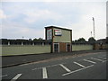
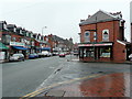
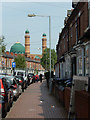
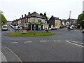
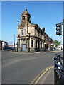
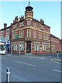
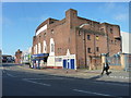
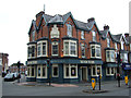
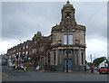
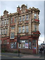
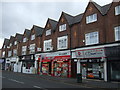
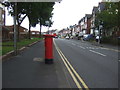
41 photos from this area
Area Information
Key information about the B66 3PD including its size, population, and administrative classification.
- Area Type
- Postcode
- Area Size
- 6806 m²
- Population
- 2240
- Population Density
- 14631 people/km²
House Prices in B66 3PD
21
Properties
£89,247
Average Sold Price
£21,000
Lowest Price
£148,000
Highest Price
Showing 21 properties
| Address | Type | Beds | Baths | Last Sale Price | Last Sale Date | |
|---|---|---|---|---|---|---|
| 358 High Street, Smethwick, B66 3PD | house | - | - | £95,000 | Mar 2024 | |
| 352 High Street, Smethwick, B66 3PD | house | 2 | 1 | £95,000 | Mar 2024 | |
| 344 High Street, Smethwick, B66 3PD | Terraced | 3 | 1 | £123,000 | Mar 2023 | |
| 330 High Street, Smethwick, B66 3PD | Terraced | 3 | 1 | £148,000 | Feb 2022 | |
| 356 High Street, Smethwick, B66 3PD | house | 2 | - | £97,000 | Jan 2018 | |
| 336 High Street, Smethwick, B66 3PD | house | - | - | £105,000 | Nov 2017 | |
| 360 High Street, Smethwick, B66 3PD | Terraced | 3 | 1 | £109,000 | Dec 2014 | |
| 354 High Street, Smethwick, B66 3PD | house | 2 | - | £93,500 | Jan 2008 | |
| 334 High Street, Smethwick, B66 3PD | house | - | - | £126,000 | Aug 2007 | |
| 348 High Street, Smethwick, B66 3PD | house | - | - | £90,500 | Jun 2007 |
Page 1 of 3
Energy Efficiency in B66 3PD
Amenities
Schools
| Rank | School | Type | Entry gender | Ages |
|---|
Explore more schools in this area
Go to Schools tabDemographics
Household Size
Family (3-5 people)
most common
Accommodation Type
Houses
most common
Tenure
47
majority
Ethnic Group
asian_total
most common
Religion
N/A
most common
Household Composition
N/A
most common
Age
47
median
Adults (30-64 years)
most common
Household Deprivation
N/A
with no deprivation
NS-SEC
11
in Lower managerial occupations
Explore more demographic insights in this area
Go to Demographics tabPlanning
Planning Constraints
- Flood RiskPremium
- Ramsar Wetland SitesPremium
- Area of Outstanding Natural BeautyPremium
- Protected Nature ReservePremium
- Protected WoodlandPremium