Area Overview for B65 9JN
Photos of B65 9JN
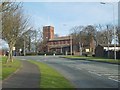
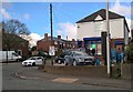
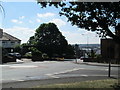
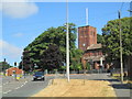
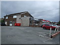
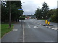
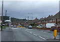
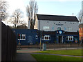
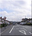
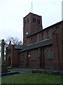
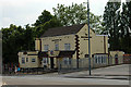
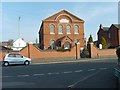
12 photos from this area
Area Information
Key information about the B65 9JN including its size, population, and administrative classification.
- Area Type
- Postcode
- Area Size
- 1.3 hectares
- Population
- 1557
- Population Density
- 5752 people/km²
House Prices in B65 9JN
36
Properties
£130,873
Average Sold Price
£16,000
Lowest Price
£270,000
Highest Price
Showing 36 properties
| Address | Type | Beds | Baths | Last Sale Price | Last Sale Date | |
|---|---|---|---|---|---|---|
| 38 Buckingham Road, Rowley Regis, B65 9JN | Semi-detached | 3 | 1 | £230,000 | Jan 2024 | |
| 14 Buckingham Road, Rowley Regis, B65 9JN | Terraced | - | - | £16,000 | Mar 2023 | |
| 22 Buckingham Road, Rowley Regis, B65 9JN | Retail | 4 | 1 | £270,000 | Sep 2022 | |
| 20 Buckingham Road, Rowley Regis, B65 9JN | house | - | - | £178,000 | May 2022 | |
| 12 Buckingham Road, Rowley Regis, B65 9JN | house | - | - | £170,000 | Apr 2021 | |
| 21 Buckingham Road, Rowley Regis, B65 9JN | house | - | - | £144,000 | Nov 2019 | |
| 15 Buckingham Road, Rowley Regis, B65 9JN | Semi-detached | 3 | 1 | £175,000 | Jan 2019 | |
| 4 Buckingham Road, Rowley Regis, B65 9JN | house | - | - | £20,000 | Nov 2018 | |
| 10 Buckingham Road, Rowley Regis, B65 9JN | house | 3 | - | £157,000 | Sep 2016 | |
| 1 Buckingham Road, Rowley Regis, B65 9JN | Semi-detached | 3 | - | £137,000 | Apr 2015 |
Page 1 of 4
Energy Efficiency in B65 9JN
Amenities
Schools
| Rank | School | Type | Entry gender | Ages |
|---|
Explore more schools in this area
Go to Schools tabDemographics
Household Size
Two person
most common
Accommodation Type
Houses
most common
Tenure
84
majority
Ethnic Group
White
most common
Religion
N/A
most common
Household Composition
N/A
most common
Age
47
median
Adults (30-64 years)
most common
Household Deprivation
N/A
with no deprivation
NS-SEC
24
in Lower managerial occupations
Explore more demographic insights in this area
Go to Demographics tabPlanning
Planning Constraints
- Flood RiskPremium
- Ramsar Wetland SitesPremium
- Area of Outstanding Natural BeautyPremium
- Protected Nature ReservePremium
- Protected WoodlandPremium