Area Overview for B65 0BX
Photos of B65 0BX
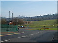
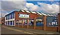
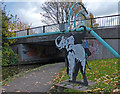
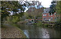
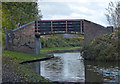
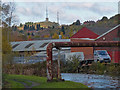
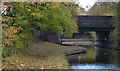
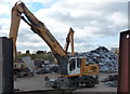
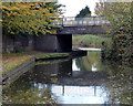
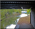
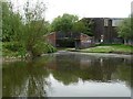
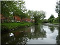
34 photos from this area
Area Information
Key information about the B65 0BX including its size, population, and administrative classification.
- Area Type
- Postcode
- Area Size
- 1.3 hectares
- Population
- 1422
- Population Density
- 4470 people/km²
House Prices in B65 0BX
27
Properties
£176,323
Average Sold Price
£56,500
Lowest Price
£352,500
Highest Price
Showing 27 properties
| Address | Type | Beds | Baths | Last Sale Price | Last Sale Date | |
|---|---|---|---|---|---|---|
| 51 Highfield Road, Rowley Regis, B65 0BX | Detached | 4 | 2 | £320,000 | Oct 2025 | |
| 48 Highfield Road, Rowley Regis, B65 0BX | Retail | 4 | 1 | £352,500 | Dec 2021 | |
| 44 Highfield Road, Rowley Regis, B65 0BX | Semi-detached | 3 | - | £330,000 | Sep 2020 | |
| 39 Highfield Road, Rowley Regis, B65 0BX | house | - | - | £290,000 | Dec 2018 | |
| 54 Highfield Road, Rowley Regis, B65 0BX | Bungalow | 2 | 1 | £145,000 | Nov 2018 | |
| 43 Highfield Road, Rowley Regis, B65 0BX | Semi-detached | 3 | 1 | £234,950 | Aug 2018 | |
| 53 Highfield Road, Rowley Regis, B65 0BX | Detached | 1 | 1 | £107,000 | Mar 2016 | |
| 35 Highfield Road, Rowley Regis, B65 0BX | house | - | - | £115,000 | Nov 2015 | |
| 36 Highfield Road, Rowley Regis, B65 0BX | Terraced | 3 | - | £94,000 | Jun 2015 | |
| 50 Highfield Road, Rowley Regis, B65 0BX | Detached | 4 | 2 | £215,000 | May 2014 |
Page 1 of 3
Energy Efficiency in B65 0BX
Amenities
Schools
| Rank | School | Type | Entry gender | Ages |
|---|
Explore more schools in this area
Go to Schools tabDemographics
Household Size
Family (3-5 people)
most common
Accommodation Type
Houses
most common
Tenure
61
majority
Ethnic Group
White
most common
Religion
N/A
most common
Household Composition
N/A
most common
Age
47
median
Adults (30-64 years)
most common
Household Deprivation
N/A
with no deprivation
NS-SEC
22
in Lower managerial occupations
Explore more demographic insights in this area
Go to Demographics tabPlanning
Planning Constraints
- Flood RiskPremium
- Ramsar Wetland SitesPremium
- Area of Outstanding Natural BeautyPremium
- Protected Nature ReservePremium
- Protected WoodlandPremium