Area Overview for B64 6RE
Photos of B64 6RE
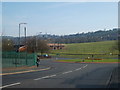
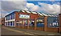
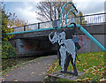
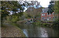
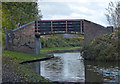
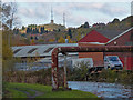
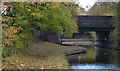
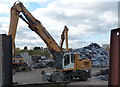
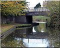
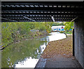
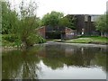
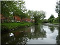
34 photos from this area
Area Information
Key information about the B64 6RE including its size, population, and administrative classification.
- Area Type
- Postcode
- Area Size
- 9261 m²
- Population
- 2371
- Population Density
- 4295 people/km²
House Prices in B64 6RE
25
Properties
£176,688
Average Sold Price
£57,000
Lowest Price
£400,000
Highest Price
Showing 25 properties
| Address | Type | Beds | Baths | Last Sale Price | Last Sale Date | |
|---|---|---|---|---|---|---|
| 99 Waterfall Lane, Cradley Heath, B64 6RE | Semi-detached | 3 | 1 | £277,000 | Jun 2025 | |
| 100 Waterfall Lane, Cradley Heath, B64 6RE | Bungalow | 2 | 1 | £279,000 | Feb 2025 | |
| 91 Waterfall Lane, Cradley Heath, B64 6RE | house | 4 | 2 | £400,000 | Feb 2025 | |
| 110 Waterfall Lane, Cradley Heath, B64 6RE | Detached | 3 | 1 | £240,000 | Dec 2024 | |
| 89A Waterfall Lane, Cradley Heath, B64 6RE | Semi-detached | 3 | 1 | £250,000 | Jan 2024 | |
| 102 Waterfall Lane, Cradley Heath, B64 6RE | Cottage | 3 | 1 | £260,000 | Feb 2023 | |
| 89 Waterfall Lane, Cradley Heath, B64 6RE | house | - | - | £218,000 | Oct 2020 | |
| 112 Waterfall Lane, Cradley Heath, B64 6RE | house | 3 | - | £125,000 | Dec 2015 | |
| 105 Waterfall Lane, Cradley Heath, B64 6RE | house | 3 | 1 | £152,000 | Oct 2014 | |
| 111 Waterfall Lane, Cradley Heath, B64 6RE | Bungalow | 2 | - | £130,000 | Jan 2011 |
Page 1 of 3
Energy Efficiency in B64 6RE
Amenities
Schools
| Rank | School | Type | Entry gender | Ages |
|---|
Explore more schools in this area
Go to Schools tabDemographics
Household Size
Two person
most common
Accommodation Type
Houses
most common
Tenure
78
majority
Ethnic Group
White
most common
Religion
N/A
most common
Household Composition
N/A
most common
Age
47
median
Adults (30-64 years)
most common
Household Deprivation
N/A
with no deprivation
NS-SEC
31
in Lower managerial occupations
Explore more demographic insights in this area
Go to Demographics tabPlanning
Planning Constraints
- Flood RiskPremium
- Ramsar Wetland SitesPremium
- Area of Outstanding Natural BeautyPremium
- Protected Nature ReservePremium
- Protected WoodlandPremium