Area Overview for B64 6HS
Photos of B64 6HS
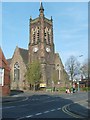
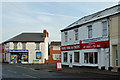
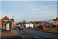
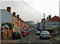
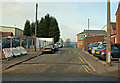
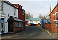
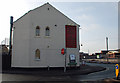
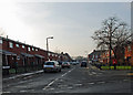
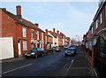
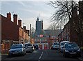

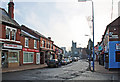
61 photos from this area
Area Information
Key information about the B64 6HS including its size, population, and administrative classification.
- Area Type
- Postcode
- Area Size
- 8809 m²
- Population
- 2329
- Population Density
- 5815 people/km²
House Prices in B64 6HS
36
Properties
£84,892
Average Sold Price
£23,000
Lowest Price
£230,000
Highest Price
Showing 36 properties
| Address | Type | Beds | Baths | Last Sale Price | Last Sale Date | |
|---|---|---|---|---|---|---|
| 26 Trinity Street, Cradley Heath, B64 6HS | house | - | - | £200,000 | Mar 2025 | |
| 43 Trinity Street, Cradley Heath, B64 6HS | Terraced | 3 | 2 | £190,000 | Dec 2023 | |
| 21 Trinity Street, Cradley Heath, B64 6HS | Semi-detached | 3 | 1 | £230,000 | Aug 2023 | |
| 37 Trinity Street, Cradley Heath, B64 6HS | house | 2 | 1 | £65,000 | Sep 2013 | |
| 41 Trinity Street, Cradley Heath, B64 6HS | Terraced | 3 | 1 | £75,000 | Aug 2013 | |
| 36 Trinity Street, Cradley Heath, B64 6HS | house | 3 | 2 | £63,000 | Nov 2010 | |
| 51 Trinity Street, Cradley Heath, B64 6HS | Terraced | - | - | £140,000 | Jan 2008 | |
| 47 Trinity Street, Cradley Heath, B64 6HS | house | - | - | £95,000 | Jan 2007 | |
| 45 Trinity Street, Cradley Heath, B64 6HS | Terraced | - | - | £102,000 | Sep 2004 | |
| 25 Trinity Street, Cradley Heath, B64 6HS | Terraced | - | - | £88,000 | Nov 2003 |
Page 1 of 4
Energy Efficiency in B64 6HS
Amenities
Schools
| Rank | School | Type | Entry gender | Ages |
|---|
Explore more schools in this area
Go to Schools tabDemographics
Household Size
One person
most common
Accommodation Type
Houses
most common
Tenure
47
majority
Ethnic Group
White
most common
Religion
N/A
most common
Household Composition
N/A
most common
Age
47
median
Adults (30-64 years)
most common
Household Deprivation
N/A
with no deprivation
NS-SEC
17
in Lower managerial occupations
Explore more demographic insights in this area
Go to Demographics tabPlanning
Planning Constraints
- Flood RiskPremium
- Ramsar Wetland SitesPremium
- Area of Outstanding Natural BeautyPremium
- Protected Nature ReservePremium
- Protected WoodlandPremium