Area Overview for B63 4SN
Photos of B63 4SN
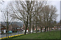
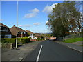
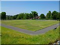
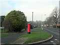
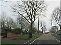
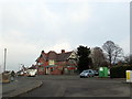
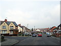
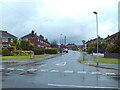
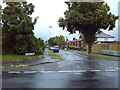
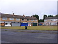
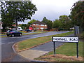
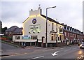
24 photos from this area
Area Information
Key information about the B63 4SN including its size, population, and administrative classification.
- Area Type
- Postcode
- Area Size
- 9128 m²
- Population
- 1865
- Population Density
- 5812 people/km²
House Prices in B63 4SN
23
Properties
£190,188
Average Sold Price
£105,000
Lowest Price
£338,500
Highest Price
Showing 23 properties
| Address | Type | Beds | Baths | Last Sale Price | Last Sale Date | |
|---|---|---|---|---|---|---|
| 77 Albert Road, Halesowen, B63 4SN | Semi-detached | 2 | 1 | £172,000 | May 2024 | |
| 85 Albert Road, Halesowen, B63 4SN | house | - | - | £338,500 | Apr 2024 | |
| 73 Albert Road, Halesowen, B63 4SN | Semi-detached | 2 | 1 | £202,000 | Dec 2023 | |
| 65 Albert Road, Halesowen, B63 4SN | Semi-detached | 4 | 1 | £225,000 | Apr 2022 | |
| 83 Albert Road, Halesowen, B63 4SN | house | - | - | £172,000 | Dec 2018 | |
| 48 Albert Road, Halesowen, B63 4SN | Semi-detached | - | - | £170,000 | Nov 2008 | |
| 66 Albert Road, Halesowen, B63 4SN | Semi-detached | - | - | £137,000 | Nov 2003 | |
| 64 Albert Road, Halesowen, B63 4SN | Semi-detached | - | - | £105,000 | Dec 2002 | |
| 62 Albert Road, Halesowen, B63 4SN | Detached | 3 | 1 | - | - | |
| 46 Albert Road, Halesowen, B63 4SN | Retirement | - | - | - | - |
Page 1 of 3
Energy Efficiency in B63 4SN
Amenities
Schools
| Rank | School | Type | Entry gender | Ages |
|---|
Explore more schools in this area
Go to Schools tabDemographics
Household Size
Two person
most common
Accommodation Type
Houses
most common
Tenure
65
majority
Ethnic Group
White
most common
Religion
N/A
most common
Household Composition
N/A
most common
Age
47
median
Adults (30-64 years)
most common
Household Deprivation
N/A
with no deprivation
NS-SEC
23
in Lower managerial occupations
Explore more demographic insights in this area
Go to Demographics tabPlanning
Planning Constraints
- Flood RiskPremium
- Ramsar Wetland SitesPremium
- Area of Outstanding Natural BeautyPremium
- Protected Nature ReservePremium
- Protected WoodlandPremium