Area Overview for B63 4LW
Photos of B63 4LW
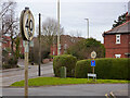
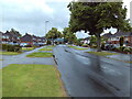
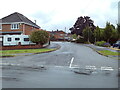
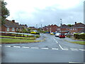
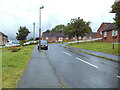
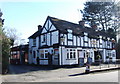
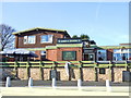
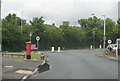
22 photos from this area
Area Information
Key information about the B63 4LW including its size, population, and administrative classification.
- Area Type
- Postcode
- Area Size
- 7684 m²
- Population
- 1482
- Population Density
- 4729 people/km²
House Prices in B63 4LW
17
Properties
£196,111
Average Sold Price
£95,000
Lowest Price
£315,000
Highest Price
Showing 17 properties
| Address | Type | Beds | Baths | Last Sale Price | Last Sale Date | |
|---|---|---|---|---|---|---|
| 29 Hawthorne Road, Halesowen, B63 4LW | Detached | 3 | 2 | £315,000 | Mar 2025 | |
| 21 Hawthorne Road, Halesowen, B63 4LW | house | - | - | £224,000 | Mar 2020 | |
| 3 Hawthorne Road, Halesowen, B63 4LW | Semi-detached | 3 | 1 | £230,000 | Sep 2018 | |
| 31 Hawthorne Road, Halesowen, B63 4LW | house | - | - | £207,500 | Aug 2017 | |
| 25 Hawthorne Road, Halesowen, B63 4LW | house | - | - | £201,500 | Aug 2013 | |
| 11 Hawthorne Road, Halesowen, B63 4LW | house | - | - | £183,000 | Aug 2011 | |
| 27 Hawthorne Road, Halesowen, B63 4LW | Semi-detached | - | - | £169,000 | Feb 2007 | |
| 23 Hawthorne Road, Halesowen, B63 4LW | Semi-detached | - | - | £140,000 | Jan 2003 | |
| 7 Hawthorne Road, Halesowen, B63 4LW | Semi-detached | - | - | £95,000 | May 2001 | |
| 9 Hawthorne Road, Halesowen, B63 4LW | Semi-detached | - | - | - | - |
Page 1 of 2
Energy Efficiency in B63 4LW
Amenities
Schools
| Rank | School | Type | Entry gender | Ages |
|---|
Explore more schools in this area
Go to Schools tabDemographics
Household Size
Two person
most common
Accommodation Type
Houses
most common
Tenure
75
majority
Ethnic Group
White
most common
Religion
N/A
most common
Household Composition
N/A
most common
Age
47
median
Adults (30-64 years)
most common
Household Deprivation
N/A
with no deprivation
NS-SEC
38
in Lower managerial occupations
Explore more demographic insights in this area
Go to Demographics tabPlanning
Planning Constraints
- Flood RiskPremium
- Ramsar Wetland SitesPremium
- Area of Outstanding Natural BeautyPremium
- Protected Nature ReservePremium
- Protected WoodlandPremium