Area Overview for B63 3ST
Photos of B63 3ST
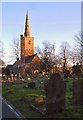
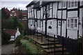
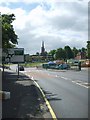
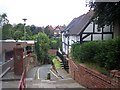
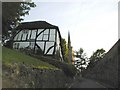
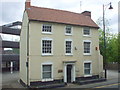
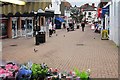
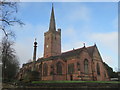

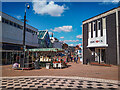
53 photos from this area
Area Information
Key information about the B63 3ST including its size, population, and administrative classification.
- Area Type
- Postcode
- Area Size
- 2.2 hectares
- Population
- 1580
- Population Density
- 1194 people/km²
House Prices in B63 3ST
37
Properties
£141,629
Average Sold Price
£65,950
Lowest Price
£265,000
Highest Price
Showing 37 properties
| Address | Type | Beds | Baths | Last Sale Price | Last Sale Date | |
|---|---|---|---|---|---|---|
| 116 Old Hawne Lane, Halesowen, B63 3ST | Terraced | 3 | 2 | £265,000 | Sep 2023 | |
| 12 Old Hawne Lane, Halesowen, B63 3ST | Semi-detached | 3 | 1 | £117,000 | Jan 2016 | |
| 121 Old Hawne Lane, Halesowen, B63 3ST | Terraced | 3 | 2 | £149,000 | Aug 2015 | |
| 118 Old Hawne Lane, Halesowen, B63 3ST | house | - | - | £165,500 | Nov 2013 | |
| 117A Old Hawne Lane, Halesowen, B63 3ST | house | - | - | £159,000 | Apr 2013 | |
| 122 Old Hawne Lane, Halesowen, B63 3ST | Terraced | - | - | £65,950 | Sep 1998 | |
| 120 Old Hawne Lane, Halesowen, B63 3ST | Terraced | - | - | £69,950 | Dec 1996 | |
| 116B Old Hawne Lane, Halesowen, B63 3ST | house | 3 | 2 | - | - | |
| 119 Old Hawne Lane, Halesowen, B63 3ST | Semi-detached | 3 | 2 | - | - | |
| 116A Old Hawne Lane, Halesowen, B63 3ST | Terraced | 3 | 2 | - | - |
Page 1 of 4
Energy Efficiency in B63 3ST
Amenities
Schools
| Rank | School | Type | Entry gender | Ages |
|---|
Explore more schools in this area
Go to Schools tabDemographics
Household Size
One person
most common
Accommodation Type
Houses
most common
Tenure
65
majority
Ethnic Group
White
most common
Religion
N/A
most common
Household Composition
N/A
most common
Age
47
median
Adults (30-64 years)
most common
Household Deprivation
N/A
with no deprivation
NS-SEC
27
in Lower managerial occupations
Explore more demographic insights in this area
Go to Demographics tabPlanning
Planning Constraints
- Flood RiskPremium
- Ramsar Wetland SitesPremium
- Area of Outstanding Natural BeautyPremium
- Protected Nature ReservePremium
- Protected WoodlandPremium