Area Overview for B63 3RN
Photos of B63 3RN
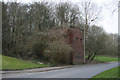
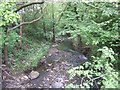
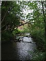
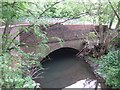
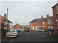
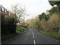
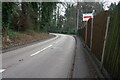
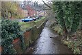
36 photos from this area
Area Information
Key information about the B63 3RN including its size, population, and administrative classification.
- Area Type
- Postcode
- Area Size
- 2.7 hectares
- Population
- 1386
- Population Density
- 3333 people/km²
House Prices in B63 3RN
50
Properties
£201,004
Average Sold Price
£45,000
Lowest Price
£466,000
Highest Price
Showing 50 properties
| Address | Type | Beds | Baths | Last Sale Price | Last Sale Date | |
|---|---|---|---|---|---|---|
| 27 Hawne Lane, Halesowen, B63 3RN | Semi-detached | 3 | 1 | £255,000 | May 2025 | |
| 46A Hawne Lane, Halesowen, B63 3RN | Detached | 4 | 2 | £466,000 | Jan 2025 | |
| 10 Hawne Lane, Halesowen, B63 3RN | house | - | - | £263,000 | Sep 2022 | |
| 34 Hawne Lane, Halesowen, B63 3RN | Retail | 3 | 1 | £280,000 | May 2022 | |
| 32 Hawne Lane, Halesowen, B63 3RN | Detached | 3 | 1 | £380,000 | Jun 2021 | |
| 26 Hawne Lane, Halesowen, B63 3RN | house | - | - | £295,000 | Apr 2021 | |
| 29 Hawne Lane, Halesowen, B63 3RN | house | - | - | £207,500 | Nov 2019 | |
| 38 Hawne Lane, Halesowen, B63 3RN | Semi-detached | 4 | - | £290,000 | Jan 2019 | |
| 14 Hawne Lane, Halesowen, B63 3RN | Semi-detached | 4 | 2 | £300,000 | Sep 2018 | |
| 22 Hawne Lane, Halesowen, B63 3RN | house | - | - | £118,000 | Aug 2015 |
Page 1 of 5
Energy Efficiency in B63 3RN
Amenities
Schools
| Rank | School | Type | Entry gender | Ages |
|---|
Explore more schools in this area
Go to Schools tabDemographics
Household Size
Two person
most common
Accommodation Type
Houses
most common
Tenure
85
majority
Ethnic Group
White
most common
Religion
N/A
most common
Household Composition
N/A
most common
Age
47
median
Adults (30-64 years)
most common
Household Deprivation
N/A
with no deprivation
NS-SEC
35
in Lower managerial occupations
Explore more demographic insights in this area
Go to Demographics tabPlanning
Planning Constraints
- Flood RiskPremium
- Ramsar Wetland SitesPremium
- Area of Outstanding Natural BeautyPremium
- Protected Nature ReservePremium
- Protected WoodlandPremium