Area Overview for B63 3PH
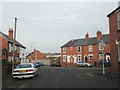
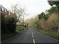
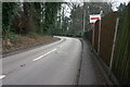
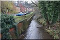
Photos of B63 3PH
Area Information
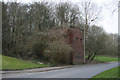
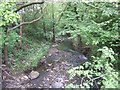
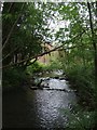
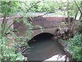
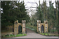
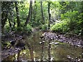
Living in B63 3PH means inhabiting a compact residential cluster in the heart of Dudley, part of the historic Belle Vale Ward in Halesowen. The area covers 6,401 square metres and is home to 1,386 residents, making it one of the most densely populated zones in the West Midlands. Despite its small size, the postcode reflects a community rooted in 18th-century settlement, with industrial heritage evident in structures like James Grove & Sons’ Bloomfield Works. The area’s character blends historic architecture with modern convenience, offering a snapshot of Dudley’s evolution from agricultural smallholdings to 19th-century manufacturing hubs. Residents benefit from proximity to major transport routes, including rail and metro stations, and the area’s high broadband score ensures seamless digital connectivity. With a median age of 47 and a population skewed toward adults aged 30–64, B63 3PH caters to a mature, established community seeking stability and accessibility. Its compact footprint means amenities are within practical reach, though the area’s density underscores the need for efficient planning in a space where every square metre counts.
- Area Type
- Postcode
- Area Size
- 6401 m²
- Population
- 1386
- Population Density
- 3333 people/km²
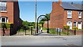
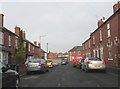
B63 3PH is predominantly an owner-occupied area, with 85% of homes owned by residents rather than rented out. The accommodation type is exclusively houses, reflecting a housing stock that prioritises private, detached living over flats or apartments. This makes the area appealing to buyers seeking long-term investment or family homes, though the small size of the postcode means the market is limited in scope. The high home ownership rate suggests a stable, low-turnover environment where properties may appreciate in value due to scarcity of comparable listings. However, the compact nature of the area means buyers must consider proximity to amenities and transport as critical factors. With no rental properties noted, the market caters more to settled residents than to transient renters. The absence of planning constraints or protected sites also means development is unlikely to disrupt the existing housing stock, preserving the area’s character for current and future owners.
House Prices in B63 3PH
No properties found in this postcode.
Energy Efficiency in B63 3PH
The lifestyle in B63 3PH is shaped by its proximity to retail, transport, and local services. Residents have access to major supermarkets such as Tesco Dudley, Tesco Stourbridge, and Makro Birmingham, ensuring convenience for grocery shopping. The area’s rail and metro stations—Old Hill, Cradley Heath, Rowley Regis, Kenrick Park, Trinity Way, and Lodge Road—offer easy access to Dudley, Birmingham, and beyond, supporting both daily commutes and weekend excursions. While the data does not specify dining or leisure venues, the presence of multiple retail outlets and transport links suggests a functional, practical lifestyle. The compact nature of the postcode means amenities are within walking or short driving distance, though the lack of named parks or recreational spaces indicates a focus on utilitarian living over leisure. For residents prioritising accessibility and efficiency, B63 3PH provides a straightforward, no-frills environment.
Amenities
Schools
| Rank | School | Type | Entry gender | Ages |
|---|
Explore more schools in this area
Go to Schools tabDemographics
The demographic profile of B63 3PH reveals a mature, predominantly White population, with 85% of residents owning their homes. The median age of 47 and the prevalence of adults aged 30–64 suggest a community centred on long-term residency and family stability. The high home ownership rate indicates a strong sense of local attachment, with houses forming the primary accommodation type. This contrasts with areas where rental markets dominate, offering a different dynamic for buyers seeking equity and security. The absence of specific data on diversity or deprivation means the area’s social fabric remains largely defined by its demographic consistency. With 1,386 residents in a small footprint, the density of 216,534 people per square kilometre implies a tightly knit community where personal connections and local networks are likely to be significant. The lack of protected natural sites or heritage constraints also means development pressures are minimal, preserving the area’s residential character.
Household Size
Accommodation Type
Tenure
Ethnic Group
Religion
Household Composition
Age
Household Deprivation
NS-SEC
Explore more demographic insights in this area
Go to Demographics tabPlanning
Planning Constraints
- Flood RiskPremium
- Ramsar Wetland SitesPremium
- Area of Outstanding Natural BeautyPremium
- Protected Nature ReservePremium
- Protected WoodlandPremium