Area Overview for B63 3EF
Photos of B63 3EF
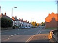
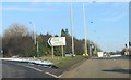
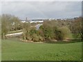
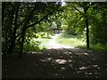
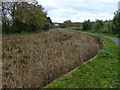
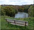
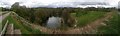
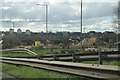
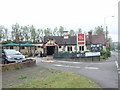
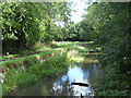
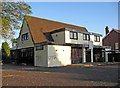
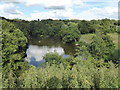
25 photos from this area
Area Information
Key information about the B63 3EF including its size, population, and administrative classification.
- Area Type
- Postcode
- Area Size
- 1.1 hectares
- Population
- 1469
- Population Density
- 5395 people/km²
House Prices in B63 3EF
17
Properties
£222,434
Average Sold Price
£55,000
Lowest Price
£430,000
Highest Price
Showing 17 properties
| Address | Type | Beds | Baths | Last Sale Price | Last Sale Date | |
|---|---|---|---|---|---|---|
| 37 Grange Road, Halesowen, B63 3EF | house | - | - | £375,000 | Oct 2025 | |
| 25 Grange Road, Halesowen, B63 3EF | Detached | 3 | 1 | £310,000 | Jul 2024 | |
| 47 Grange Road, Halesowen, B63 3EF | house | - | - | £210,000 | Mar 2024 | |
| 53 Grange Road, Halesowen, B63 3EF | house | - | - | £330,000 | Jul 2021 | |
| 49 Grange Road, Halesowen, B63 3EF | house | 3 | 1 | £283,000 | Mar 2021 | |
| 43 Grange Road, Halesowen, B63 3EF | Detached | 5 | 2 | £430,000 | Sep 2019 | |
| 23 Grange Road, Halesowen, B63 3EF | Detached | 5 | 1 | £305,000 | Jun 2018 | |
| 41 Grange Road, Halesowen, B63 3EF | Detached | 4 | 3 | £305,000 | Mar 2016 | |
| 33 Grange Road, Halesowen, B63 3EF | Detached | 3 | 1 | £225,000 | Jan 2016 | |
| 35 Grange Road, Halesowen, B63 3EF | house | - | - | £185,000 | Sep 2015 |
Page 1 of 2
Energy Efficiency in B63 3EF
Amenities
Schools
| Rank | School | Type | Entry gender | Ages |
|---|
Explore more schools in this area
Go to Schools tabDemographics
Household Size
One person
most common
Accommodation Type
Houses
most common
Tenure
79
majority
Ethnic Group
White
most common
Religion
N/A
most common
Household Composition
N/A
most common
Age
47
median
Adults (30-64 years)
most common
Household Deprivation
N/A
with no deprivation
NS-SEC
36
in Lower managerial occupations
Explore more demographic insights in this area
Go to Demographics tabPlanning
Planning Constraints
- Flood RiskPremium
- Ramsar Wetland SitesPremium
- Area of Outstanding Natural BeautyPremium
- Protected Nature ReservePremium
- Protected WoodlandPremium