Area Overview for B63 2XS
Photos of B63 2XS
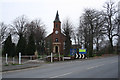
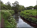
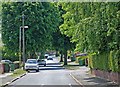
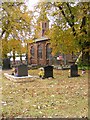
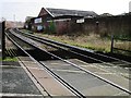
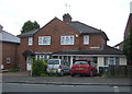
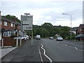
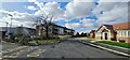
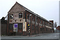
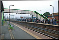
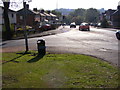
41 photos from this area
Area Information
Key information about the B63 2XS including its size, population, and administrative classification.
- Area Type
- Postcode
- Area Size
- 1.6 hectares
- Population
- 1439
- Population Density
- 2724 people/km²
House Prices in B63 2XS
60
Properties
£84,659
Average Sold Price
£32,000
Lowest Price
£238,000
Highest Price
Showing 60 properties
| Address | Type | Beds | Baths | Last Sale Price | Last Sale Date | |
|---|---|---|---|---|---|---|
| 122 Apperley Way, Cradley, B63 2XS | Flat | 1 | 1 | £105,000 | Jun 2025 | |
| 132 Apperley Way, Cradley, B63 2XS | Flat | - | - | £81,000 | Sep 2023 | |
| 124 Apperley Way, Cradley, B63 2XS | Flat | - | - | £85,250 | Sep 2023 | |
| 142 Apperley Way, Cradley, B63 2XS | Semi-detached | 3 | 1 | £238,000 | Aug 2023 | |
| 181 Apperley Way, Cradley, B63 2XS | Flat | - | - | £115,000 | Apr 2023 | |
| 171 Apperley Way, Cradley, B63 2XS | Flat | - | - | £95,000 | Sep 2022 | |
| 168 Apperley Way, Cradley, B63 2XS | Semi-detached | 3 | - | £225,000 | Nov 2021 | |
| 167 Apperley Way, Cradley, B63 2XS | Flat | - | - | £85,000 | Jan 2021 | |
| 159 Apperley Way, Cradley, B63 2XS | Flat | - | - | £50,000 | Jul 2020 | |
| 116 Apperley Way, Cradley, B63 2XS | Flat | - | - | £72,000 | Sep 2019 |
Page 1 of 6
Energy Efficiency in B63 2XS
Amenities
Schools
| Rank | School | Type | Entry gender | Ages |
|---|
Explore more schools in this area
Go to Schools tabDemographics
Household Size
One person
most common
Accommodation Type
Houses
most common
Tenure
68
majority
Ethnic Group
White
most common
Religion
N/A
most common
Household Composition
N/A
most common
Age
47
median
Adults (30-64 years)
most common
Household Deprivation
N/A
with no deprivation
NS-SEC
29
in Lower managerial occupations
Explore more demographic insights in this area
Go to Demographics tabPlanning
Planning Constraints
- Flood RiskPremium
- Ramsar Wetland SitesPremium
- Area of Outstanding Natural BeautyPremium
- Protected Nature ReservePremium
- Protected WoodlandPremium