Area Overview for B63 2UD
Photos of B63 2UD
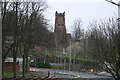
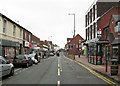
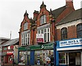
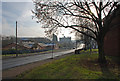
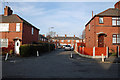
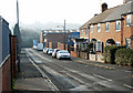
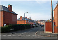
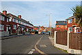
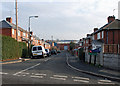
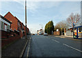
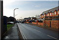
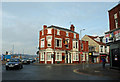
82 photos from this area
Area Information
Key information about the B63 2UD including its size, population, and administrative classification.
- Area Type
- Postcode
- Area Size
- 1.3 hectares
- Population
- 1495
- Population Density
- 4599 people/km²
House Prices in B63 2UD
33
Properties
£95,054
Average Sold Price
£35,000
Lowest Price
£205,000
Highest Price
Showing 33 properties
| Address | Type | Beds | Baths | Last Sale Price | Last Sale Date | |
|---|---|---|---|---|---|---|
| 81 Colley Lane, Cradley, B63 2UD | Detached | 3 | 1 | £205,000 | Jul 2023 | |
| 101 Colley Lane, Cradley, B63 2UD | Semi-detached | 2 | 1 | £140,000 | Mar 2020 | |
| 99 Colley Lane, Cradley, B63 2UD | house | - | - | £162,000 | Jun 2018 | |
| 73 Colley Lane, Cradley, B63 2UD | Terraced | 3 | 1 | £110,000 | Aug 2017 | |
| 69 Colley Lane, Cradley, B63 2UD | Terraced | 2 | 1 | £92,000 | Oct 2016 | |
| 73A Colley Lane, Cradley, B63 2UD | Detached | 1 | 1 | £68,000 | Nov 2015 | |
| 55 Colley Lane, Cradley, B63 2UD | Terraced | 2 | 1 | £66,500 | Sep 2014 | |
| 129 Colley Lane, Cradley, B63 2UD | Detached | - | - | £136,000 | Dec 2007 | |
| 71 Colley Lane, Cradley, B63 2UD | Terraced | 2 | 1 | £94,250 | Jun 2007 | |
| 57 Colley Lane, Cradley, B63 2UD | house | - | - | £35,000 | Jan 2004 |
Page 1 of 4
Energy Efficiency in B63 2UD
Amenities
Schools
| Rank | School | Type | Entry gender | Ages |
|---|
Explore more schools in this area
Go to Schools tabDemographics
Household Size
Two person
most common
Accommodation Type
Houses
most common
Tenure
60
majority
Ethnic Group
White
most common
Religion
N/A
most common
Household Composition
N/A
most common
Age
47
median
Adults (30-64 years)
most common
Household Deprivation
N/A
with no deprivation
NS-SEC
23
in Lower managerial occupations
Explore more demographic insights in this area
Go to Demographics tabPlanning
Planning Constraints
- Flood RiskPremium
- Ramsar Wetland SitesPremium
- Area of Outstanding Natural BeautyPremium
- Protected Nature ReservePremium
- Protected WoodlandPremium