Area Overview for B63 2TQ
Photos of B63 2TQ
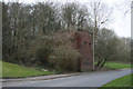
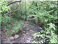
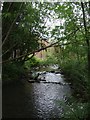
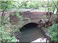
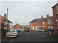
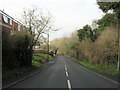
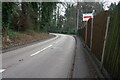
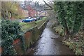
36 photos from this area
Area Information
Key information about the B63 2TQ including its size, population, and administrative classification.
- Area Type
- Postcode
- Area Size
- 1.4 hectares
- Population
- 1951
- Population Density
- 5253 people/km²
House Prices in B63 2TQ
82
Properties
£120,554
Average Sold Price
£82,687
Lowest Price
£245,000
Highest Price
Showing 82 properties
| Address | Type | Beds | Baths | Last Sale Price | Last Sale Date | |
|---|---|---|---|---|---|---|
| 11 Century Way, Cradley, B63 2TQ | Terraced | 3 | 2 | £245,000 | Nov 2025 | |
| 88 Century Way, Cradley, B63 2TQ | Flat | 2 | 2 | £157,000 | Aug 2025 | |
| 68 Century Way, Cradley, B63 2TQ | Flat | - | - | £135,000 | Jan 2025 | |
| 70 Century Way, Cradley, B63 2TQ | Flat | - | - | £125,000 | Sep 2024 | |
| 75 Century Way, Cradley, B63 2TQ | Flat | 2 | 1 | £109,000 | Feb 2023 | |
| 31 Century Way, Cradley, B63 2TQ | Flat | 2 | 1 | £135,000 | Sep 2022 | |
| 51 Century Way, Cradley, B63 2TQ | Flat | 2 | 2 | £132,000 | Aug 2022 | |
| 38 Century Way, Cradley, B63 2TQ | Flat | - | - | £130,000 | Nov 2021 | |
| 12 Century Way, Cradley, B63 2TQ | house | - | - | £180,000 | Aug 2021 | |
| 39 Century Way, Cradley, B63 2TQ | Flat | - | - | £105,500 | Mar 2021 |
Page 1 of 9
Energy Efficiency in B63 2TQ
Amenities
Schools
| Rank | School | Type | Entry gender | Ages |
|---|
Explore more schools in this area
Go to Schools tabDemographics
Household Size
Family (3-5 people)
most common
Accommodation Type
Houses
most common
Tenure
68
majority
Ethnic Group
White
most common
Religion
N/A
most common
Household Composition
N/A
most common
Age
47
median
Adults (30-64 years)
most common
Household Deprivation
N/A
with no deprivation
NS-SEC
33
in Lower managerial occupations
Explore more demographic insights in this area
Go to Demographics tabPlanning
Planning Constraints
- Flood RiskPremium
- Ramsar Wetland SitesPremium
- Area of Outstanding Natural BeautyPremium
- Protected Nature ReservePremium
- Protected WoodlandPremium