Area Overview for B63 2BT
Photos of B63 2BT
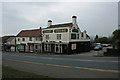
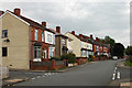
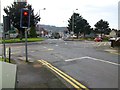
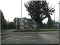
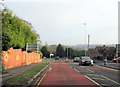
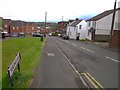
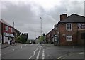
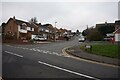
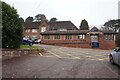
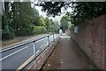
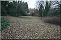
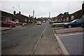
41 photos from this area
Area Information
Key information about the B63 2BT including its size, population, and administrative classification.
- Area Type
- Postcode
- Area Size
- 6789 m²
- Population
- 1495
- Population Density
- 4599 people/km²
House Prices in B63 2BT
17
Properties
£89,162
Average Sold Price
£30,000
Lowest Price
£162,000
Highest Price
Showing 17 properties
| Address | Type | Beds | Baths | Last Sale Price | Last Sale Date | |
|---|---|---|---|---|---|---|
| 55 Maple Tree Lane, Cradley, B63 2BT | Terraced | 2 | 1 | £162,000 | Sep 2023 | |
| 39 Maple Tree Lane, Cradley, B63 2BT | house | - | - | £160,000 | Sep 2021 | |
| 32 Maple Tree Lane, Cradley, B63 2BT | Terraced | 3 | 1 | £120,000 | May 2021 | |
| 34 Maple Tree Lane, Cradley, B63 2BT | Terraced | 3 | 1 | £104,000 | Jun 2019 | |
| 53 Maple Tree Lane, Cradley, B63 2BT | house | 3 | - | £99,000 | Jun 2014 | |
| 47 Maple Tree Lane, Cradley, B63 2BT | house | - | - | £104,600 | May 2012 | |
| 43 Maple Tree Lane, Cradley, B63 2BT | house | 2 | - | £85,000 | Sep 2011 | |
| 49 Maple Tree Lane, Cradley, B63 2BT | Terraced | - | - | £102,500 | Aug 2006 | |
| 57 Maple Tree Lane, Cradley, B63 2BT | Terraced | 2 | 1 | £46,000 | Feb 2002 | |
| 61 Maple Tree Lane, Cradley, B63 2BT | Terraced | 3 | 1 | £50,000 | Mar 2001 |
Page 1 of 2
Energy Efficiency in B63 2BT
Amenities
Schools
| Rank | School | Type | Entry gender | Ages |
|---|
Explore more schools in this area
Go to Schools tabDemographics
Household Size
Two person
most common
Accommodation Type
Houses
most common
Tenure
60
majority
Ethnic Group
White
most common
Religion
N/A
most common
Household Composition
N/A
most common
Age
47
median
Adults (30-64 years)
most common
Household Deprivation
N/A
with no deprivation
NS-SEC
23
in Lower managerial occupations
Explore more demographic insights in this area
Go to Demographics tabPlanning
Planning Constraints
- Flood RiskPremium
- Ramsar Wetland SitesPremium
- Area of Outstanding Natural BeautyPremium
- Protected Nature ReservePremium
- Protected WoodlandPremium