Area Overview for B63 1AS
Photos of B63 1AS
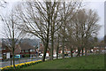
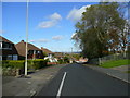
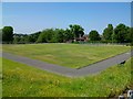
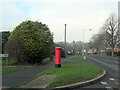
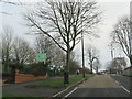
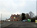
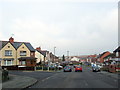
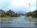
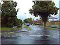
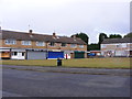
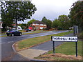
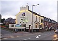
24 photos from this area
Area Information
Key information about the B63 1AS including its size, population, and administrative classification.
- Area Type
- Postcode
- Area Size
- 2.1 hectares
- Population
- 1871
- Population Density
- 3435 people/km²
House Prices in B63 1AS
37
Properties
£241,714
Average Sold Price
£87,500
Lowest Price
£380,000
Highest Price
Showing 37 properties
| Address | Type | Beds | Baths | Last Sale Price | Last Sale Date | |
|---|---|---|---|---|---|---|
| 52 Briery Road, Halesowen, B63 1AS | Semi-detached | - | - | £150,000 | Apr 2024 | |
| 49 Briery Road, Halesowen, B63 1AS | Semi-detached | 3 | 1 | £280,000 | Feb 2024 | |
| 88 Briery Road, Halesowen, B63 1AS | Detached | 3 | 2 | £365,000 | Aug 2023 | |
| 78 Briery Road, Halesowen, B63 1AS | house | - | - | £265,000 | Sep 2021 | |
| 47 Briery Road, Halesowen, B63 1AS | house | - | - | £315,000 | Sep 2021 | |
| 75 Briery Road, Halesowen, B63 1AS | house | - | - | £319,000 | Jan 2021 | |
| 70 Briery Road, Halesowen, B63 1AS | house | - | - | £291,000 | Dec 2020 | |
| 71 Briery Road, Halesowen, B63 1AS | Detached | 4 | 2 | £380,000 | Sep 2020 | |
| 55 Briery Road, Halesowen, B63 1AS | house | - | - | £258,000 | Jan 2019 | |
| 57 Briery Road, Halesowen, B63 1AS | Semi-detached | 3 | 1 | £227,000 | Oct 2015 |
Page 1 of 4
Energy Efficiency in B63 1AS
Amenities
Schools
| Rank | School | Type | Entry gender | Ages |
|---|
Explore more schools in this area
Go to Schools tabDemographics
Household Size
Family (3-5 people)
most common
Accommodation Type
Houses
most common
Tenure
93
majority
Ethnic Group
White
most common
Religion
N/A
most common
Household Composition
N/A
most common
Age
47
median
Adults (30-64 years)
most common
Household Deprivation
N/A
with no deprivation
NS-SEC
39
in Lower managerial occupations
Explore more demographic insights in this area
Go to Demographics tabPlanning
Planning Constraints
- Flood RiskPremium
- Ramsar Wetland SitesPremium
- Area of Outstanding Natural BeautyPremium
- Protected Nature ReservePremium
- Protected WoodlandPremium