Area Overview for B62 9RU
Photos of B62 9RU
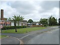
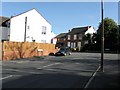
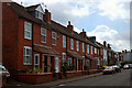
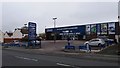
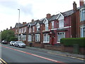
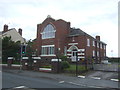
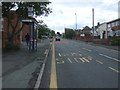
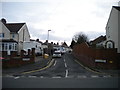
14 photos from this area
Area Information
Key information about the B62 9RU including its size, population, and administrative classification.
- Area Type
- Postcode
- Area Size
- 6155 m²
- Population
- 1517
- Population Density
- 3983 people/km²
House Prices in B62 9RU
21
Properties
£172,919
Average Sold Price
£58,000
Lowest Price
£275,000
Highest Price
Showing 21 properties
| Address | Type | Beds | Baths | Last Sale Price | Last Sale Date | |
|---|---|---|---|---|---|---|
| 46 Hillbrow Crescent, Halesowen, B62 9RU | Semi-detached | 3 | 1 | £257,000 | Oct 2024 | |
| 34 Hillbrow Crescent, Halesowen, B62 9RU | Semi-detached | 3 | 1 | £220,000 | Jun 2024 | |
| 39 Hillbrow Crescent, Halesowen, B62 9RU | Semi-detached | 3 | 1 | £275,000 | Dec 2022 | |
| 29 Hillbrow Crescent, Halesowen, B62 9RU | house | - | - | £220,000 | Oct 2021 | |
| 23 Hillbrow Crescent, Halesowen, B62 9RU | house | - | - | £190,000 | Mar 2021 | |
| 27 Hillbrow Crescent, Halesowen, B62 9RU | Semi-detached | 3 | 1 | £229,950 | Feb 2019 | |
| 31 Hillbrow Crescent, Halesowen, B62 9RU | Semi-detached | 3 | 2 | £176,000 | May 2015 | |
| 37 Hillbrow Crescent, Halesowen, B62 9RU | Semi-detached | 3 | 1 | £148,000 | Jul 2011 | |
| 42 Hillbrow Crescent, Halesowen, B62 9RU | Semi-detached | - | - | £165,000 | Jan 2007 | |
| 44 Hillbrow Crescent, Halesowen, B62 9RU | Semi-detached | 3 | 1 | £166,000 | Sep 2006 |
Page 1 of 3
Energy Efficiency in B62 9RU
Amenities
Schools
| Rank | School | Type | Entry gender | Ages |
|---|
Explore more schools in this area
Go to Schools tabDemographics
Household Size
Two person
most common
Accommodation Type
Houses
most common
Tenure
89
majority
Ethnic Group
White
most common
Religion
N/A
most common
Household Composition
N/A
most common
Age
47
median
Adults (30-64 years)
most common
Household Deprivation
N/A
with no deprivation
NS-SEC
36
in Lower managerial occupations
Explore more demographic insights in this area
Go to Demographics tabPlanning
Planning Constraints
- Flood RiskPremium
- Ramsar Wetland SitesPremium
- Area of Outstanding Natural BeautyPremium
- Protected Nature ReservePremium
- Protected WoodlandPremium