Area Overview for B62 9JT
Photos of B62 9JT
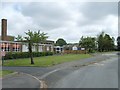
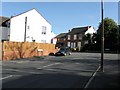
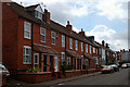

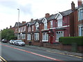
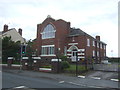
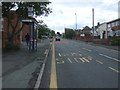
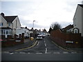
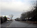
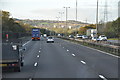
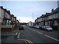
14 photos from this area
Area Information
Key information about the B62 9JT including its size, population, and administrative classification.
- Area Type
- Postcode
- Area Size
- 2.6 hectares
- Population
- 1573
- Population Density
- 4073 people/km²
House Prices in B62 9JT
26
Properties
£146,427
Average Sold Price
£54,000
Lowest Price
£290,000
Highest Price
Showing 26 properties
| Address | Type | Beds | Baths | Last Sale Price | Last Sale Date | |
|---|---|---|---|---|---|---|
| 225 Long Lane, Halesowen, B62 9JT | Semi-detached | 3 | 1 | £270,000 | Dec 2022 | |
| 231A Long Lane, Halesowen, B62 9JT | Terraced | 3 | 2 | £290,000 | Jul 2022 | |
| 221 Long Lane, Halesowen, B62 9JT | Detached | 3 | 1 | £207,500 | Mar 2020 | |
| 232 Long Lane, Halesowen, B62 9JT | Terraced | 2 | 1 | £137,000 | Nov 2019 | |
| 223 Long Lane, Halesowen, B62 9JT | Semi-detached | 2 | - | £122,000 | Dec 2017 | |
| 234 Long Lane, Halesowen, B62 9JT | Terraced | 3 | 1 | £75,000 | Feb 2017 | |
| 207 Long Lane, Halesowen, B62 9JT | Semi-detached | 4 | 2 | £218,000 | Sep 2016 | |
| 226 Long Lane, Halesowen, B62 9JT | Terraced | 3 | - | £138,000 | Sep 2014 | |
| 233 Long Lane, Halesowen, B62 9JT | Terraced | 2 | - | £131,500 | Aug 2014 | |
| 208 Long Lane, Halesowen, B62 9JT | house | 3 | - | £168,900 | Jul 2008 |
Page 1 of 3
Energy Efficiency in B62 9JT
Amenities
Schools
| Rank | School | Type | Entry gender | Ages |
|---|
Explore more schools in this area
Go to Schools tabDemographics
Household Size
Family (3-5 people)
most common
Accommodation Type
Houses
most common
Tenure
83
majority
Ethnic Group
White
most common
Religion
N/A
most common
Household Composition
N/A
most common
Age
47
median
Adults (30-64 years)
most common
Household Deprivation
N/A
with no deprivation
NS-SEC
38
in Lower managerial occupations
Explore more demographic insights in this area
Go to Demographics tabPlanning
Planning Constraints
- Flood RiskPremium
- Ramsar Wetland SitesPremium
- Area of Outstanding Natural BeautyPremium
- Protected Nature ReservePremium
- Protected WoodlandPremium