Area Overview for B62 9EB
Photos of B62 9EB
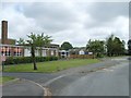
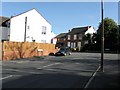
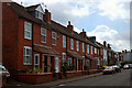
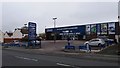
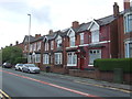
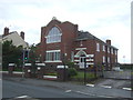
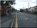
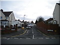
14 photos from this area
Area Information
Key information about the B62 9EB including its size, population, and administrative classification.
- Area Type
- Postcode
- Area Size
- 2.0 hectares
- Population
- 1573
- Population Density
- 4073 people/km²
House Prices in B62 9EB
57
Properties
£158,611
Average Sold Price
£40,000
Lowest Price
£400,000
Highest Price
Showing 57 properties
| Address | Type | Beds | Baths | Last Sale Price | Last Sale Date | |
|---|---|---|---|---|---|---|
| 90 Lyttleton Avenue, Halesowen, B62 9EB | house | 3 | 1 | £230,000 | Aug 2025 | |
| 81 Lyttleton Avenue, Halesowen, B62 9EB | Detached | 4 | 1 | £340,000 | Sep 2023 | |
| 78 Lyttleton Avenue, Halesowen, B62 9EB | house | - | - | £231,000 | Aug 2023 | |
| 61 Lyttleton Avenue, Halesowen, B62 9EB | Detached | 3 | 1 | £250,000 | Mar 2023 | |
| 73 Lyttleton Avenue, Halesowen, B62 9EB | house | - | - | £248,000 | Dec 2022 | |
| 68 Lyttleton Avenue, Halesowen, B62 9EB | Retail | 2 | 1 | £240,000 | Aug 2022 | |
| 42 Lyttleton Avenue, Halesowen, B62 9EB | house | - | - | £235,000 | Jul 2022 | |
| 35 Lyttleton Avenue, Halesowen, B62 9EB | Detached | 3 | 2 | £400,000 | Jul 2022 | |
| 41 Lyttleton Avenue, Halesowen, B62 9EB | house | 3 | - | £240,000 | Mar 2022 | |
| 43 Lyttleton Avenue, Halesowen, B62 9EB | house | - | - | £204,000 | Aug 2021 |
Page 1 of 6
Energy Efficiency in B62 9EB
Amenities
Schools
| Rank | School | Type | Entry gender | Ages |
|---|
Explore more schools in this area
Go to Schools tabDemographics
Household Size
Family (3-5 people)
most common
Accommodation Type
Houses
most common
Tenure
83
majority
Ethnic Group
White
most common
Religion
N/A
most common
Household Composition
N/A
most common
Age
47
median
Adults (30-64 years)
most common
Household Deprivation
N/A
with no deprivation
NS-SEC
38
in Lower managerial occupations
Explore more demographic insights in this area
Go to Demographics tabPlanning
Planning Constraints
- Flood RiskPremium
- Ramsar Wetland SitesPremium
- Area of Outstanding Natural BeautyPremium
- Protected Nature ReservePremium
- Protected WoodlandPremium