Area Overview for B62 9AA
Photos of B62 9AA
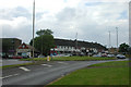
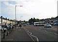
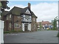
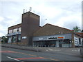
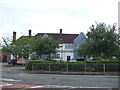
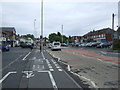
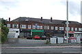
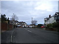
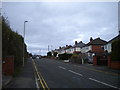
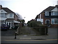
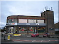
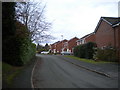
28 photos from this area
Area Information
Key information about the B62 9AA including its size, population, and administrative classification.
- Area Type
- Postcode
- Area Size
- 1.4 hectares
- Population
- 1573
- Population Density
- 4073 people/km²
House Prices in B62 9AA
23
Properties
£182,086
Average Sold Price
£83,500
Lowest Price
£437,000
Highest Price
Showing 23 properties
| Address | Type | Beds | Baths | Last Sale Price | Last Sale Date | |
|---|---|---|---|---|---|---|
| 26 Halesowen Road, Halesowen, B62 9AA | house | - | - | £437,000 | Jan 2023 | |
| 22 Halesowen Road, Halesowen, B62 9AA | Detached | 3 | 2 | £310,000 | Jun 2018 | |
| 17 Halesowen Road, Halesowen, B62 9AA | Semi-detached | 3 | 1 | £170,000 | Feb 2018 | |
| 19 Halesowen Road, Halesowen, B62 9AA | Semi-detached | 3 | - | £150,000 | Jan 2017 | |
| 23 Halesowen Road, Halesowen, B62 9AA | house | 3 | 1 | £156,000 | Mar 2016 | |
| 21 Halesowen Road, Halesowen, B62 9AA | Semi-detached | 3 | 1 | £130,000 | Dec 2015 | |
| 24 Halesowen Road, Halesowen, B62 9AA | Semi-detached | 3 | 1 | £215,000 | Oct 2015 | |
| 16 Halesowen Road, Halesowen, B62 9AA | Semi-detached | 3 | 1 | £158,000 | Nov 2007 | |
| 12A Halesowen Road, Halesowen, B62 9AA | Flat | 1 | - | £95,000 | Jun 2006 | |
| 18 Halesowen Road, Halesowen, B62 9AA | Semi-detached | - | - | £98,450 | Sep 2001 |
Page 1 of 3
Energy Efficiency in B62 9AA
Amenities
Schools
| Rank | School | Type | Entry gender | Ages |
|---|
Explore more schools in this area
Go to Schools tabDemographics
Household Size
Family (3-5 people)
most common
Accommodation Type
Houses
most common
Tenure
83
majority
Ethnic Group
White
most common
Religion
N/A
most common
Household Composition
N/A
most common
Age
47
median
Adults (30-64 years)
most common
Household Deprivation
N/A
with no deprivation
NS-SEC
38
in Lower managerial occupations
Explore more demographic insights in this area
Go to Demographics tabPlanning
Planning Constraints
- Flood RiskPremium
- Ramsar Wetland SitesPremium
- Area of Outstanding Natural BeautyPremium
- Protected Nature ReservePremium
- Protected WoodlandPremium