Area Overview for B62 0PJ
Photos of B62 0PJ
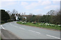
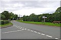
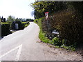
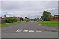
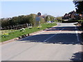
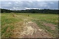

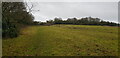
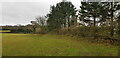
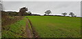

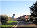
20 photos from this area
Area Information
Key information about the B62 0PJ including its size, population, and administrative classification.
- Area Type
- Postcode
- Area Size
- 4.0 hectares
- Population
- 1153
- Population Density
- 762 people/km²
House Prices in B62 0PJ
30
Properties
£275,682
Average Sold Price
£95,000
Lowest Price
£680,000
Highest Price
Showing 30 properties
| Address | Type | Beds | Baths | Last Sale Price | Last Sale Date | |
|---|---|---|---|---|---|---|
| 87 Dark Lane, Romsley, B62 0PJ | Bungalow | 2 | 1 | £680,000 | Nov 2023 | |
| 77A Dark Lane, Romsley, B62 0PJ | Bungalow | 2 | 1 | £383,000 | Mar 2021 | |
| 96 Dark Lane, Romsley, B62 0PJ | house | - | - | £290,000 | Jun 2017 | |
| 88 Dark Lane, Romsley, B62 0PJ | Bungalow | 3 | 2 | £395,000 | Dec 2016 | |
| 89 Dark Lane, Romsley, B62 0PJ | house | - | - | £502,000 | Dec 2016 | |
| 94 Dark Lane, Romsley, B62 0PJ | house | - | - | £275,000 | Sep 2015 | |
| 106 Dark Lane, Romsley, B62 0PJ | house | - | - | £185,000 | May 2015 | |
| 104 Dark Lane, Romsley, B62 0PJ | house | - | - | £160,000 | Jul 2011 | |
| 81 Dark Lane, Romsley, B62 0PJ | Bungalow | - | - | £300,000 | Mar 2011 | |
| 79 Dark Lane, Romsley, B62 0PJ | Detached | 5 | 4 | £375,000 | Sep 2008 |
Page 1 of 3
Energy Efficiency in B62 0PJ
Amenities
Schools
| Rank | School | Type | Entry gender | Ages |
|---|
Explore more schools in this area
Go to Schools tabDemographics
Household Size
Two person
most common
Accommodation Type
Houses
most common
Tenure
81
majority
Ethnic Group
White
most common
Religion
N/A
most common
Household Composition
N/A
most common
Age
47
median
Adults (30-64 years)
most common
Household Deprivation
N/A
with no deprivation
NS-SEC
39
in Lower managerial occupations
Explore more demographic insights in this area
Go to Demographics tabPlanning
Planning Constraints
- Flood RiskPremium
- Ramsar Wetland SitesPremium
- Area of Outstanding Natural BeautyPremium
- Protected Nature ReservePremium
- Protected WoodlandPremium