Area Overview for B61 9EP
Photos of B61 9EP
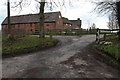
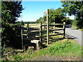
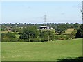
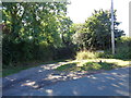
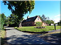
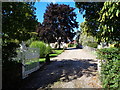
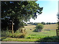
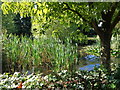
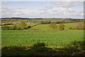
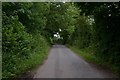
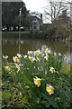
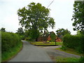
14 photos from this area
Area Information
Key information about the B61 9EP including its size, population, and administrative classification.
- Area Type
- Postcode
- Area Size
- 47.0 hectares
- Population
- 1606
- Population Density
- 77 people/km²
House Prices in B61 9EP
9
Properties
£428,125
Average Sold Price
£325,000
Lowest Price
£590,000
Highest Price
Showing 9 properties
| Address | Type | Beds | Baths | Last Sale Price | Last Sale Date | |
|---|---|---|---|---|---|---|
| Cooksey Cottage, Dog Lane, Cooksey Green, B61 9EP | Detached | - | - | £375,000 | Jan 2010 | |
| Forge House Farm, Cooksey Green Lane, Cooksey Green, B61 9EP | Detached | - | - | £422,500 | Sep 2004 | |
| The Pool House, Cooksey Green Lane, Cooksey Green, B61 9EP | Semi-detached | 4 | 4 | £590,000 | Dec 2002 | |
| The Old Smithy, Cooksey Green Lane, Cooksey Green, B61 9EP | Detached | - | - | £325,000 | Jun 2002 | |
| 2, Orchard Cottages, Cooksey Green Lane, Cooksey Green, B61 9EP | Semi-detached | - | - | - | - | |
| Orchard Cottage North, Cooksey Green Lane, Cooksey Green, B61 9EP | Semi-detached | - | - | - | - | |
| The Grange, Cooksey Green Lane, Cooksey Green, B61 9EP | Semi-detached | - | - | - | - | |
| Cooksey Green Farm, Cooksey Green Lane, Cooksey Green, B61 9EP | Detached | - | - | - | - | |
| Land Rear Of, Orchard Cottage North, Cooksey Green Lane, Cooksey Green, B61 9EP | Farm | - | - | - | - |
Energy Efficiency in B61 9EP
Amenities
Schools
| Rank | School | Type | Entry gender | Ages |
|---|
Explore more schools in this area
Go to Schools tabDemographics
Household Size
Family (3-5 people)
most common
Accommodation Type
Houses
most common
Tenure
76
majority
Ethnic Group
White
most common
Religion
N/A
most common
Household Composition
N/A
most common
Age
47
median
Adults (30-64 years)
most common
Household Deprivation
N/A
with no deprivation
NS-SEC
42
in Lower managerial occupations
Explore more demographic insights in this area
Go to Demographics tabPlanning
Planning Constraints
- Flood RiskPremium
- Ramsar Wetland SitesPremium
- Area of Outstanding Natural BeautyPremium
- Protected Nature ReservePremium
- Protected WoodlandPremium