Area Overview for B61 9EL
Photos of B61 9EL
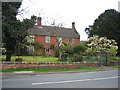
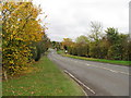
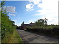
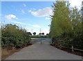
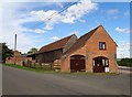
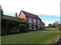
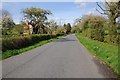
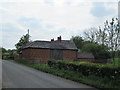


17 photos from this area
Area Information
Key information about the B61 9EL including its size, population, and administrative classification.
- Area Type
- Postcode
- Area Size
- 1.1 km²
- Population
- 1606
- Population Density
- 77 people/km²
House Prices in B61 9EL
11
Properties
£342,500
Average Sold Price
£325,000
Lowest Price
£360,000
Highest Price
Showing 11 properties
| Address | Type | Beds | Baths | Last Sale Price | Last Sale Date | |
|---|---|---|---|---|---|---|
| Ingleboro, Berry Lane, Upton Warren, B61 9EL | Detached | - | - | £360,000 | May 2005 | |
| Durrance Farm Cottage, Berry Lane, Upton Warren, B61 9EL | house | - | - | £325,000 | Nov 2001 | |
| The Apple House, Durrance Farm, Berry Lane, Upton Warren, B61 9EL | Bungalow | - | - | - | - | |
| Old Cart House, Durrance Farm, Berry Lane, Upton Warren, B61 9EL | Bungalow | - | - | - | - | |
| Hirons, The Durrance, Berry Lane, Upton Warren, B61 9EL | house | - | - | - | - | |
| Apple Tree Cottage, Berry Lane, Upton Warren, B61 9EL | house | - | - | - | - | |
| Wood Hill Cottage, Durrance Farm, Berry Lane, Upton Warren, B61 9EL | Detached | - | - | - | - | |
| Stable Cottage, The Durrance, Berry Lane, Upton Warren, B61 9EL | Detached | - | - | - | - | |
| Abbeylands, Berry Lane, Upton Warren, B61 9EL | house | - | - | - | - | |
| Pond View Holiday Let At, Abbeylands, Berry Lane, Upton Warren, B61 9EL | park_home | - | - | - | - |
Page 1 of 2
Energy Efficiency in B61 9EL
Amenities
Schools
| Rank | School | Type | Entry gender | Ages |
|---|
Explore more schools in this area
Go to Schools tabDemographics
Household Size
Family (3-5 people)
most common
Accommodation Type
Houses
most common
Tenure
76
majority
Ethnic Group
White
most common
Religion
N/A
most common
Household Composition
N/A
most common
Age
47
median
Adults (30-64 years)
most common
Household Deprivation
N/A
with no deprivation
NS-SEC
42
in Lower managerial occupations
Explore more demographic insights in this area
Go to Demographics tabPlanning
Planning Constraints
- Flood RiskPremium
- Ramsar Wetland SitesPremium
- Area of Outstanding Natural BeautyPremium
- Protected Nature ReservePremium
- Protected WoodlandPremium