Area Overview for B61 8NX
Photos of B61 8NX
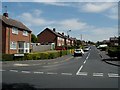
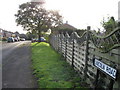
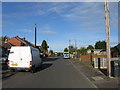
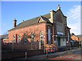
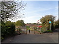
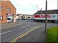
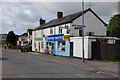
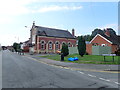
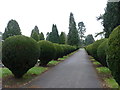
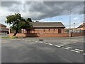
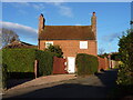
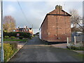
22 photos from this area
Area Information
Key information about the B61 8NX including its size, population, and administrative classification.
- Area Type
- Postcode
- Area Size
- 8620 m²
- Population
- 1931
- Population Density
- 2815 people/km²
House Prices in B61 8NX
27
Properties
£178,870
Average Sold Price
£40,359
Lowest Price
£309,950
Highest Price
Showing 27 properties
| Address | Type | Beds | Baths | Last Sale Price | Last Sale Date | |
|---|---|---|---|---|---|---|
| 11 Crabtree Drive, Bromsgrove, B61 8NX | Semi-detached | 3 | 1 | £277,500 | Feb 2025 | |
| 17 Crabtree Drive, Bromsgrove, B61 8NX | house | - | - | £225,000 | Dec 2021 | |
| 19 Crabtree Drive, Bromsgrove, B61 8NX | Terraced | 2 | 1 | £180,000 | Sep 2021 | |
| 19A Crabtree Drive, Bromsgrove, B61 8NX | house | - | - | £186,000 | Aug 2021 | |
| 5 Crabtree Drive, Bromsgrove, B61 8NX | house | - | - | £245,000 | Mar 2021 | |
| 18 Crabtree Drive, Bromsgrove, B61 8NX | Bungalow | - | - | £309,950 | Oct 2016 | |
| 14 Crabtree Drive, Bromsgrove, B61 8NX | house | - | - | £187,500 | Aug 2015 | |
| 1 Crabtree Drive, Bromsgrove, B61 8NX | house | 3 | - | £185,000 | Oct 2014 | |
| 6 Crabtree Drive, Bromsgrove, B61 8NX | house | - | - | £175,000 | Aug 2012 | |
| 17A Crabtree Drive, Bromsgrove, B61 8NX | Terraced | 2 | 1 | £125,000 | Dec 2009 |
Page 1 of 3
Energy Efficiency in B61 8NX
Amenities
Schools
| Rank | School | Type | Entry gender | Ages |
|---|
Explore more schools in this area
Go to Schools tabDemographics
Household Size
One person
most common
Accommodation Type
Houses
most common
Tenure
67
majority
Ethnic Group
White
most common
Religion
N/A
most common
Household Composition
N/A
most common
Age
47
median
Adults (30-64 years)
most common
Household Deprivation
N/A
with no deprivation
NS-SEC
31
in Lower managerial occupations
Explore more demographic insights in this area
Go to Demographics tabPlanning
Planning Constraints
- Flood RiskPremium
- Ramsar Wetland SitesPremium
- Area of Outstanding Natural BeautyPremium
- Protected Nature ReservePremium
- Protected WoodlandPremium