Area Overview for B61 8NJ
Photos of B61 8NJ
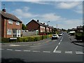
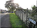
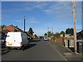
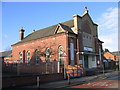
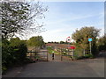
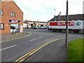
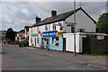
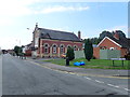
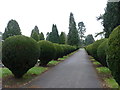
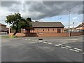
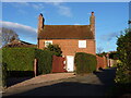
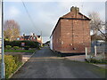
22 photos from this area
Area Information
Key information about the B61 8NJ including its size, population, and administrative classification.
- Area Type
- Postcode
- Area Size
- 5832 m²
- Population
- 2000
- Population Density
- 2950 people/km²
House Prices in B61 8NJ
14
Properties
£184,493
Average Sold Price
£72,950
Lowest Price
£358,000
Highest Price
Showing 14 properties
| Address | Type | Beds | Baths | Last Sale Price | Last Sale Date | |
|---|---|---|---|---|---|---|
| 204 Broad Street, Bromsgrove, B61 8NJ | Cottage | 2 | 1 | £297,000 | Aug 2023 | |
| 206 Broad Street, Bromsgrove, B61 8NJ | Bungalow | 3 | - | £358,000 | Dec 2021 | |
| 203 Broad Street, Bromsgrove, B61 8NJ | Semi-detached | - | - | £191,000 | Apr 2021 | |
| 205 Broad Street, Bromsgrove, B61 8NJ | Semi-detached | 2 | 1 | £125,000 | Oct 2014 | |
| 199 Broad Street, Bromsgrove, B61 8NJ | house | 2 | - | £125,000 | Feb 2005 | |
| 209 Broad Street, Bromsgrove, B61 8NJ | Semi-detached | - | - | £122,500 | Sep 2004 | |
| 201 Broad Street, Bromsgrove, B61 8NJ | house | - | - | £72,950 | Dec 2000 | |
| The Old Nailers Cottage, 202 Broad Street, Bromsgrove, B61 8NJ | Cottage | 4 | 2 | - | - | |
| 217 Broad Street, Bromsgrove, B61 8NJ | Semi-detached | - | - | - | - | |
| 219 Broad Street, Bromsgrove, B61 8NJ | house | - | - | - | - |
Page 1 of 2
Energy Efficiency in B61 8NJ
Amenities
Schools
| Rank | School | Type | Entry gender | Ages |
|---|
Explore more schools in this area
Go to Schools tabDemographics
Household Size
Family (3-5 people)
most common
Accommodation Type
Houses
most common
Tenure
50
majority
Ethnic Group
White
most common
Religion
N/A
most common
Household Composition
N/A
most common
Age
47
median
Adults (30-64 years)
most common
Household Deprivation
N/A
with no deprivation
NS-SEC
23
in Lower managerial occupations
Explore more demographic insights in this area
Go to Demographics tabPlanning
Planning Constraints
- Flood RiskPremium
- Ramsar Wetland SitesPremium
- Area of Outstanding Natural BeautyPremium
- Protected Nature ReservePremium
- Protected WoodlandPremium