Area Overview for B61 8LP
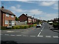
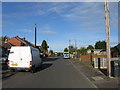
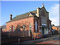
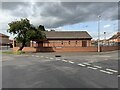
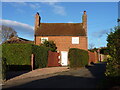
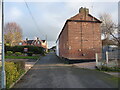
Photos of B61 8LP

Area Information
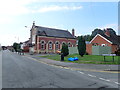
Living in B61 8LP means being part of a small, tightly knit residential cluster in England, home to 2,038 people. This area is characterised by its mix of houses and a community predominantly aged 30–64, reflecting a mature demographic. The postcode sits near Bromsgrove Town Centre, with Sanders Park—a historically significant public space—offering recreational opportunities. The area’s compact size ensures proximity to local amenities, while its history ties into Bromsgrove’s industrial past, including the legacy of the Sanders family, who gifted land for the park in 1952. Daily life here balances suburban tranquility with access to nearby towns, rail links, and a range of schools. The low flood risk and absence of environmental constraints like protected woodlands or AONB designations make it a practical choice for families seeking stability. However, the area’s crime risk is high, requiring vigilance. For those prioritising convenience, B61 8LP offers a blend of practicality and historical charm.
- Area Type
- Postcode
- Area Size
- Not available
- Population
- 2038
- Population Density
- 2538 people/km²
The property market in B61 8LP is defined by a 52% home ownership rate, indicating a balance between owner-occupied homes and rental properties. The area’s accommodation type is predominantly houses, not flats or high-rise developments, which suggests a focus on family-friendly, standalone properties. This contrasts with areas dominated by apartments or terraced housing, offering more space and privacy. For buyers, this means the market is likely to feature semi-detached or detached homes, appealing to those seeking traditional living arrangements. However, the small size of the postcode area may limit the range of properties available, requiring buyers to look beyond immediate surroundings for larger selections. The lack of high-density housing also implies lower demand for rental properties, potentially making owner-occupation more viable.
House Prices in B61 8LP
No properties found in this postcode.
Energy Efficiency in B61 8LP
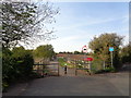
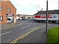
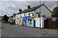
The lifestyle in B61 8LP is enhanced by nearby amenities, including retail options like Spar, Asda Bromsgrove, and Waitrose Bromsgrove, offering shopping convenience. Sanders Park, a historic public space, provides recreational facilities such as tennis courts, a skate park, and Cotton Pool, catering to families and individuals. The park’s pedestrian link to Bromsgrove Town Centre adds to its appeal, blending green space with urban access. The area’s small scale ensures that amenities are within practical reach, though residents may need to travel further for specialist services. The combination of retail, leisure, and green spaces creates a balanced lifestyle, ideal for those valuing both convenience and outdoor activity.
Amenities
Schools
Residents of B61 8LP have access to a range of educational institutions. St John’s CofE Foundation Middle School is a primary school, while Bromsgrove School is an independent secondary institution. St John’s Church of England Middle School Academy, an academy with a ‘good’ Ofsted rating, provides additional options for families. The mix of school types—state, independent, and academy—offers flexibility, allowing parents to choose between free public education, independent schooling, or academies with specific curricula. The presence of a highly rated academy suggests strong academic provision, while the independent school caters to those seeking private education. This diversity ensures that families can align their choices with financial capacity and educational preferences without leaving the area.
| Rank | School | Type | Entry gender | Ages |
|---|
Explore more schools in this area
Go to Schools tabDemographics
The population of B61 8LP is 2,038, with a median age of 47, indicating a community skewed towards adults aged 30–64. Home ownership stands at 52%, suggesting a mix of owner-occupied properties and rental stock. The area is predominantly composed of houses, not flats or apartments, reflecting a traditional housing stock. The predominant ethnic group is White, with no specific data provided on other demographics. This age profile and home ownership rate suggest a stable, long-term resident base, likely including professionals and families. The absence of detailed diversity metrics means the community’s composition remains largely unquantified beyond the dominant group. The area’s demographic profile aligns with a mature, low-turnover environment, where established households form the majority.
Household Size
Accommodation Type
Tenure
Ethnic Group
Religion
Household Composition
Age
Household Deprivation
NS-SEC
Explore more demographic insights in this area
Go to Demographics tabPlanning
Planning Constraints
- Flood RiskPremium
- Ramsar Wetland SitesPremium
- Area of Outstanding Natural BeautyPremium
- Protected Nature ReservePremium
- Protected WoodlandPremium