Area Overview for B61 7PJ
Photos of B61 7PJ
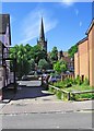
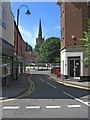
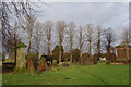
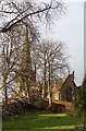
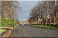

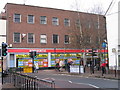
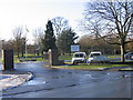
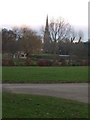
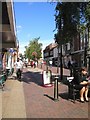
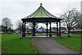

100 photos from this area
Area Information
Key information about the B61 7PJ including its size, population, and administrative classification.
- Area Type
- Postcode
- Area Size
- 7550 m²
- Population
- 1668
- Population Density
- 2633 people/km²
House Prices in B61 7PJ
25
Properties
£181,012
Average Sold Price
£57,000
Lowest Price
£270,000
Highest Price
Showing 25 properties
| Address | Type | Beds | Baths | Last Sale Price | Last Sale Date | |
|---|---|---|---|---|---|---|
| 165 Deansway, Bromsgrove, B61 7PJ | Semi-detached | 3 | 1 | £270,000 | Jan 2024 | |
| 167 Deansway, Bromsgrove, B61 7PJ | house | - | - | £269,000 | Aug 2021 | |
| 163 Deansway, Bromsgrove, B61 7PJ | Semi-detached | 3 | 1 | £245,000 | Jun 2021 | |
| 171 Deansway, Bromsgrove, B61 7PJ | Semi-detached | 3 | 1 | £219,000 | Aug 2020 | |
| 111 Deansway, Bromsgrove, B61 7PJ | house | - | - | £216,000 | Nov 2018 | |
| 169 Deansway, Bromsgrove, B61 7PJ | Semi-detached | 3 | 1 | £227,500 | Jan 2018 | |
| 187 Deansway, Bromsgrove, B61 7PJ | Semi-detached | 3 | 1 | £200,000 | Oct 2014 | |
| 155 Deansway, Bromsgrove, B61 7PJ | Detached | - | - | £189,500 | Oct 2006 | |
| 129 Deansway, Bromsgrove, B61 7PJ | Flat | 1 | 1 | £70,000 | Nov 2004 | |
| 113 Deansway, Bromsgrove, B61 7PJ | house | - | - | £180,150 | Aug 2004 |
Page 1 of 3
Energy Efficiency in B61 7PJ
Amenities
Schools
| Rank | School | Type | Entry gender | Ages |
|---|
Explore more schools in this area
Go to Schools tabDemographics
Household Size
Family (3-5 people)
most common
Accommodation Type
Houses
most common
Tenure
87
majority
Ethnic Group
White
most common
Religion
N/A
most common
Household Composition
N/A
most common
Age
47
median
Adults (30-64 years)
most common
Household Deprivation
N/A
with no deprivation
NS-SEC
36
in Lower managerial occupations
Explore more demographic insights in this area
Go to Demographics tabPlanning
Planning Constraints
- Flood RiskPremium
- Ramsar Wetland SitesPremium
- Area of Outstanding Natural BeautyPremium
- Protected Nature ReservePremium
- Protected WoodlandPremium