Area Overview for B61 7LN
Photos of B61 7LN
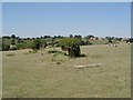
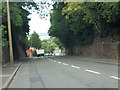
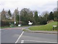
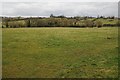
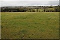

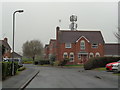
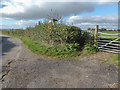


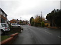
36 photos from this area
Area Information
Key information about the B61 7LN including its size, population, and administrative classification.
- Area Type
- Postcode
- Area Size
- 1.1 hectares
- Population
- 1618
- Population Density
- 6781 people/km²
House Prices in B61 7LN
15
Properties
£294,000
Average Sold Price
£73,000
Lowest Price
£575,000
Highest Price
Showing 15 properties
| Address | Type | Beds | Baths | Last Sale Price | Last Sale Date | |
|---|---|---|---|---|---|---|
| 59A Rock Hill, Bromsgrove, B61 7LN | Semi-detached | 4 | 2 | £297,000 | Jul 2024 | |
| 61 Rock Hill, Bromsgrove, B61 7LN | Detached | 4 | 2 | £355,000 | Apr 2023 | |
| 73 Rock Hill, Bromsgrove, B61 7LN | Detached | 4 | 2 | £515,000 | Nov 2022 | |
| 71A Rock Hill, Bromsgrove, B61 7LN | Bungalow | - | - | £387,000 | Sep 2021 | |
| 71 Rock Hill, Bromsgrove, B61 7LN | Detached | 5 | 2 | £575,000 | Jun 2020 | |
| 53 Rock Hill, Bromsgrove, B61 7LN | Cottage | 3 | - | £305,000 | Mar 2019 | |
| 57 Rock Hill, Bromsgrove, B61 7LN | Cottage | 2 | - | £182,000 | Jun 2014 | |
| 51 Rock Hill, Bromsgrove, B61 7LN | Detached | 3 | - | £229,000 | Mar 2014 | |
| 59 Rock Hill, Bromsgrove, B61 7LN | house | - | - | £131,000 | Feb 2009 | |
| 55 Rock Hill, Bromsgrove, B61 7LN | Detached | - | - | £185,000 | Apr 2004 |
Page 1 of 2
Energy Efficiency in B61 7LN
Amenities
Schools
| Rank | School | Type | Entry gender | Ages |
|---|
Explore more schools in this area
Go to Schools tabDemographics
Household Size
Family (3-5 people)
most common
Accommodation Type
Houses
most common
Tenure
46
majority
Ethnic Group
White
most common
Religion
N/A
most common
Household Composition
N/A
most common
Age
47
median
Adults (30-64 years)
most common
Household Deprivation
N/A
with no deprivation
NS-SEC
27
in Lower managerial occupations
Explore more demographic insights in this area
Go to Demographics tabPlanning
Planning Constraints
- Flood RiskPremium
- Ramsar Wetland SitesPremium
- Area of Outstanding Natural BeautyPremium
- Protected Nature ReservePremium
- Protected WoodlandPremium