Area Overview for B61 7EB
Photos of B61 7EB
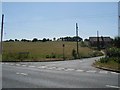

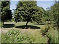
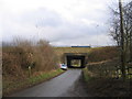
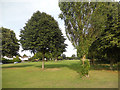
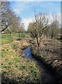
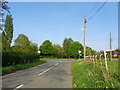
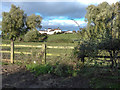
52 photos from this area
Area Information
Key information about the B61 7EB including its size, population, and administrative classification.
- Area Type
- Postcode
- Area Size
- 2.6 hectares
- Population
- 1668
- Population Density
- 2633 people/km²
House Prices in B61 7EB
32
Properties
£257,167
Average Sold Price
£92,000
Lowest Price
£460,000
Highest Price
Showing 32 properties
| Address | Type | Beds | Baths | Last Sale Price | Last Sale Date | |
|---|---|---|---|---|---|---|
| 13 Echells Close, Bromsgrove, B61 7EB | Detached | 4 | 2 | £413,000 | Mar 2024 | |
| 18 Echells Close, Bromsgrove, B61 7EB | house | 4 | - | £460,000 | Nov 2021 | |
| 23 Echells Close, Bromsgrove, B61 7EB | house | - | - | £325,000 | Apr 2019 | |
| 3 Echells Close, Bromsgrove, B61 7EB | Detached | 4 | 1 | £285,000 | Dec 2017 | |
| 29 Echells Close, Bromsgrove, B61 7EB | house | - | - | £275,000 | Feb 2017 | |
| 24 Echells Close, Bromsgrove, B61 7EB | Detached | - | - | £270,000 | Aug 2007 | |
| 19 Echells Close, Bromsgrove, B61 7EB | Detached | - | - | £318,000 | Dec 2005 | |
| 5 Echells Close, Bromsgrove, B61 7EB | Detached | - | - | £237,000 | Dec 2005 | |
| 11 Echells Close, Bromsgrove, B61 7EB | Detached | - | - | £154,000 | Dec 2001 | |
| 26 Echells Close, Bromsgrove, B61 7EB | Detached | - | - | £130,000 | Feb 1998 |
Page 1 of 4
Energy Efficiency in B61 7EB
Amenities
Schools
| Rank | School | Type | Entry gender | Ages |
|---|
Explore more schools in this area
Go to Schools tabDemographics
Household Size
Family (3-5 people)
most common
Accommodation Type
Houses
most common
Tenure
87
majority
Ethnic Group
White
most common
Religion
N/A
most common
Household Composition
N/A
most common
Age
47
median
Adults (30-64 years)
most common
Household Deprivation
N/A
with no deprivation
NS-SEC
36
in Lower managerial occupations
Explore more demographic insights in this area
Go to Demographics tabPlanning
Planning Constraints
- Flood RiskPremium
- Ramsar Wetland SitesPremium
- Area of Outstanding Natural BeautyPremium
- Protected Nature ReservePremium
- Protected WoodlandPremium