Area Overview for B61 7AS
Photos of B61 7AS
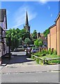
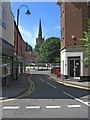
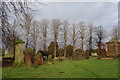
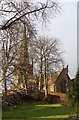
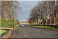
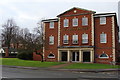
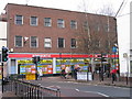
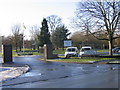
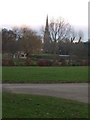
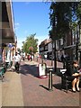
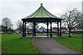
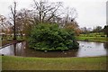
100 photos from this area
Area Information
Key information about the B61 7AS including its size, population, and administrative classification.
- Area Type
- Postcode
- Area Size
- 3470 m²
- Population
- 2038
- Population Density
- 2538 people/km²
House Prices in B61 7AS
17
Properties
£180,864
Average Sold Price
£64,500
Lowest Price
£352,500
Highest Price
Showing 17 properties
| Address | Type | Beds | Baths | Last Sale Price | Last Sale Date | |
|---|---|---|---|---|---|---|
| 146 Worcester Road, Bromsgrove, B61 7AS | house | 6 | 3 | £352,500 | Aug 2024 | |
| 142 Worcester Road, Bromsgrove, B61 7AS | house | 1 | 1 | £187,500 | Sep 2023 | |
| 150 Worcester Road, Bromsgrove, B61 7AS | Flat | 2 | - | £161,000 | Jun 2022 | |
| 134 Worcester Road, Bromsgrove, B61 7AS | Terraced | 5 | 1 | £205,000 | Aug 2020 | |
| 158 Worcester Road, Bromsgrove, B61 7AS | Terraced | 2 | 1 | £122,000 | Feb 2016 | |
| 138 Worcester Road, Bromsgrove, B61 7AS | house | 3 | - | £180,000 | Mar 2015 | |
| 144 Worcester Road, Bromsgrove, B61 7AS | house | 3 | - | £184,000 | Jul 2013 | |
| 140 Worcester Road, Bromsgrove, B61 7AS | Detached | - | - | £305,000 | Aug 2006 | |
| 148 Worcester Road, Bromsgrove, B61 7AS | Flat | - | - | £110,000 | Aug 2006 | |
| 160 Worcester Road, Bromsgrove, B61 7AS | Terraced | 2 | 1 | £118,000 | Oct 2003 |
Page 1 of 2
Energy Efficiency in B61 7AS
Amenities
Schools
| Rank | School | Type | Entry gender | Ages |
|---|
Explore more schools in this area
Go to Schools tabDemographics
Household Size
One person
most common
Accommodation Type
Houses
most common
Tenure
52
majority
Ethnic Group
White
most common
Religion
N/A
most common
Household Composition
N/A
most common
Age
47
median
Adults (30-64 years)
most common
Household Deprivation
N/A
with no deprivation
NS-SEC
30
in Lower managerial occupations
Explore more demographic insights in this area
Go to Demographics tabPlanning
Planning Constraints
- Flood RiskPremium
- Ramsar Wetland SitesPremium
- Area of Outstanding Natural BeautyPremium
- Protected Nature ReservePremium
- Protected WoodlandPremium