Area Overview for B61 0EP
Photos of B61 0EP
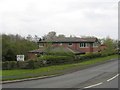
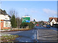
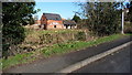
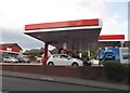
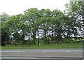
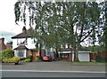
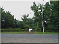
46 photos from this area
Area Information
Key information about the B61 0EP including its size, population, and administrative classification.
- Area Type
- Postcode
- Area Size
- 3.7 hectares
- Population
- 2254
- Population Density
- 1811 people/km²
House Prices in B61 0EP
13
Properties
£660,421
Average Sold Price
£165,000
Lowest Price
£2,738,000
Highest Price
Showing 13 properties
| Address | Type | Beds | Baths | Last Sale Price | Last Sale Date | |
|---|---|---|---|---|---|---|
| Mount Croft Care Home, 277 Birmingham Road, Bromsgrove, B61 0EP | hospital_care_home | - | - | £2,738,000 | May 2023 | |
| 249 Birmingham Road, Bromsgrove, B61 0EP | Semi-detached | 3 | 1 | £220,000 | Sep 2020 | |
| 253 Birmingham Road, Bromsgrove, B61 0EP | Semi-detached | 3 | 1 | £181,500 | Nov 2015 | |
| 281 Birmingham Road, Bromsgrove, B61 0EP | Detached | 6 | 5 | £835,000 | Jul 2014 | |
| 247 Birmingham Road, Bromsgrove, B61 0EP | house | - | - | £173,500 | Aug 2006 | |
| 241 Birmingham Road, Bromsgrove, B61 0EP | Detached | 4 | 1 | £309,950 | Aug 2006 | |
| 255 Birmingham Road, Bromsgrove, B61 0EP | Terraced | - | - | £165,000 | Jul 2004 | |
| 243 Birmingham Road, Bromsgrove, B61 0EP | Detached | 4 | 2 | - | - | |
| Norton Farm, Birmingham Road, Bromsgrove, B61 0EP | Detached | 4 | 2 | - | - | |
| 265 Birmingham Road, Bromsgrove, B61 0EP | Detached | - | - | - | - |
Page 1 of 2
Energy Efficiency in B61 0EP
Amenities
Schools
| Rank | School | Type | Entry gender | Ages |
|---|
Explore more schools in this area
Go to Schools tabDemographics
Household Size
Family (3-5 people)
most common
Accommodation Type
Houses
most common
Tenure
72
majority
Ethnic Group
White
most common
Religion
N/A
most common
Household Composition
N/A
most common
Age
47
median
Adults (30-64 years)
most common
Household Deprivation
N/A
with no deprivation
NS-SEC
43
in Lower managerial occupations
Explore more demographic insights in this area
Go to Demographics tabPlanning
Planning Constraints
- Flood RiskPremium
- Ramsar Wetland SitesPremium
- Area of Outstanding Natural BeautyPremium
- Protected Nature ReservePremium
- Protected WoodlandPremium