Area Overview for B61 0AR
Photos of B61 0AR
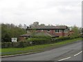
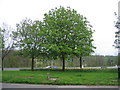
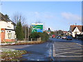
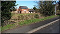
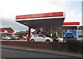
46 photos from this area
Area Information
Key information about the B61 0AR including its size, population, and administrative classification.
- Area Type
- Postcode
- Area Size
- 9178 m²
- Population
- 1747
- Population Density
- 6332 people/km²
House Prices in B61 0AR
24
Properties
£176,278
Average Sold Price
£63,750
Lowest Price
£257,000
Highest Price
Showing 24 properties
| Address | Type | Beds | Baths | Last Sale Price | Last Sale Date | |
|---|---|---|---|---|---|---|
| 182 Stourbridge Road, Bromsgrove, B61 0AR | house | 3 | - | £210,000 | Nov 2020 | |
| 190 Stourbridge Road, Bromsgrove, B61 0AR | Semi-detached | 3 | 1 | £167,000 | Oct 2019 | |
| 196 Stourbridge Road, Bromsgrove, B61 0AR | Semi-detached | 2 | 2 | £220,000 | Sep 2018 | |
| 185 Stourbridge Road, Bromsgrove, B61 0AR | Semi-detached | 2 | 1 | £210,000 | Aug 2018 | |
| 204 Stourbridge Road, Bromsgrove, B61 0AR | house | - | - | £257,000 | Oct 2017 | |
| 206 Stourbridge Road, Bromsgrove, B61 0AR | house | - | - | £236,000 | Sep 2015 | |
| 187 Stourbridge Road, Bromsgrove, B61 0AR | Semi-detached | 4 | 1 | £200,000 | May 2015 | |
| 198 Stourbridge Road, Bromsgrove, B61 0AR | Semi-detached | 3 | 1 | £184,950 | Apr 2015 | |
| 202 Stourbridge Road, Bromsgrove, B61 0AR | house | - | - | £169,000 | Feb 2015 | |
| 188 Stourbridge Road, Bromsgrove, B61 0AR | house | - | - | £142,500 | Oct 2014 |
Page 1 of 3
Energy Efficiency in B61 0AR
Amenities
Schools
| Rank | School | Type | Entry gender | Ages |
|---|
Explore more schools in this area
Go to Schools tabDemographics
Household Size
Family (3-5 people)
most common
Accommodation Type
Houses
most common
Tenure
85
majority
Ethnic Group
White
most common
Religion
N/A
most common
Household Composition
N/A
most common
Age
47
median
Adults (30-64 years)
most common
Household Deprivation
N/A
with no deprivation
NS-SEC
45
in Lower managerial occupations
Explore more demographic insights in this area
Go to Demographics tabPlanning
Planning Constraints
- Flood RiskPremium
- Ramsar Wetland SitesPremium
- Area of Outstanding Natural BeautyPremium
- Protected Nature ReservePremium
- Protected WoodlandPremium