Area Overview for B60 4JN
Photos of B60 4JN
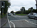
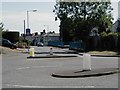
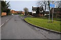
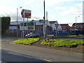
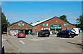
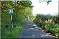
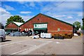
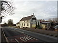
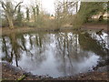
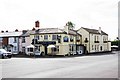
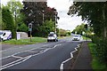
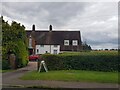
32 photos from this area
Area Information
Key information about the B60 4JN including its size, population, and administrative classification.
- Area Type
- Postcode
- Area Size
- 3.8 hectares
- Population
- 1424
- Population Density
- 160 people/km²
House Prices in B60 4JN
19
Properties
£314,444
Average Sold Price
£95,000
Lowest Price
£610,000
Highest Price
Showing 19 properties
| Address | Type | Beds | Baths | Last Sale Price | Last Sale Date | |
|---|---|---|---|---|---|---|
| 34 Redditch Road, Stoke Heath, B60 4JN | Cottage | 3 | 2 | £350,000 | Oct 2025 | |
| 52 Redditch Road, Stoke Heath, B60 4JN | Detached | 3 | 1 | £385,000 | Oct 2025 | |
| 30 Redditch Road, Stoke Heath, B60 4JN | Terraced | 2 | 1 | £222,000 | Jul 2025 | |
| 24 Redditch Road, Stoke Heath, B60 4JN | house | 1 | - | £500,000 | Aug 2022 | |
| 22 Redditch Road, Stoke Heath, B60 4JN | Retail | 4 | 2 | £610,000 | Mar 2022 | |
| 28 Redditch Road, Stoke Heath, B60 4JN | Terraced | 3 | 1 | £280,000 | Jun 2021 | |
| 32 Redditch Road, Stoke Heath, B60 4JN | house | - | - | £148,000 | Jul 2014 | |
| 26 Redditch Road, Stoke Heath, B60 4JN | Detached | - | - | £240,000 | Sep 2005 | |
| 50 Redditch Road, Stoke Heath, B60 4JN | Detached | - | - | £95,000 | Aug 1998 | |
| 36 Redditch Road, Stoke Heath, B60 4JN | Terraced | 2 | - | - | - |
Page 1 of 2
Energy Efficiency in B60 4JN
Amenities
Schools
| Rank | School | Type | Entry gender | Ages |
|---|
Explore more schools in this area
Go to Schools tabDemographics
Household Size
Two person
most common
Accommodation Type
Houses
most common
Tenure
77
majority
Ethnic Group
White
most common
Religion
N/A
most common
Household Composition
N/A
most common
Age
47
median
Adults (30-64 years)
most common
Household Deprivation
N/A
with no deprivation
NS-SEC
42
in Lower managerial occupations
Explore more demographic insights in this area
Go to Demographics tabPlanning
Planning Constraints
- Flood RiskPremium
- Ramsar Wetland SitesPremium
- Area of Outstanding Natural BeautyPremium
- Protected Nature ReservePremium
- Protected WoodlandPremium