Area Overview for B60 4BX
Photos of B60 4BX
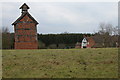
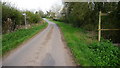
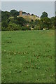
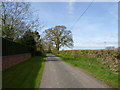
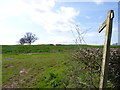
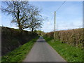
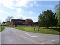
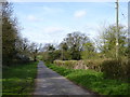
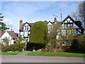
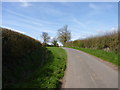
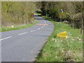
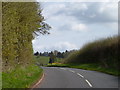
55 photos from this area
Area Information
Key information about the B60 4BX including its size, population, and administrative classification.
- Area Type
- Postcode
- Area Size
- 40.5 hectares
- Population
- 1327
- Population Density
- 37 people/km²
House Prices in B60 4BX
9
Properties
£575,450
Average Sold Price
£275,000
Lowest Price
£814,000
Highest Price
Showing 9 properties
| Address | Type | Beds | Baths | Last Sale Price | Last Sale Date | |
|---|---|---|---|---|---|---|
| Whitehouse Farm, Pumphouse Lane, Hanbury, B60 4BX | Bungalow | 4 | 2 | £686,000 | Feb 2020 | |
| White House Cottage, Pumphouse Lane, Hanbury, B60 4BX | Detached | 4 | 3 | £814,000 | Mar 2018 | |
| Appleby, Pumphouse Lane, Hanbury, B60 4BX | Detached | - | - | £537,250 | Dec 2015 | |
| Carters Hill House, Pumphouse Lane, Hanbury, B60 4BX | Detached | - | - | £565,000 | Dec 2008 | |
| Olde Timbers, Pumphouse Lane, Hanbury, B60 4BX | Detached | - | - | £275,000 | Jan 1997 | |
| Barnsview, Pumphouse Lane, Hanbury, B60 4BX | Cottage | 3 | 2 | - | - | |
| Ppg Station 81M From, Olde Timbers, Pumphouse Lane, Hanbury, B60 4BX | Industrial | - | - | - | - | |
| Bramcote, Pumphouse Lane, Hanbury, B60 4BX | Semi-detached | - | - | - | - | |
| The White House, Pumphouse Lane, Hanbury, B60 4BX | Detached | - | - | - | - |
Energy Efficiency in B60 4BX
Amenities
Schools
| Rank | School | Type | Entry gender | Ages |
|---|
Explore more schools in this area
Go to Schools tabDemographics
Household Size
Two person
most common
Accommodation Type
Houses
most common
Tenure
78
majority
Ethnic Group
White
most common
Religion
N/A
most common
Household Composition
N/A
most common
Age
47
median
Adults (30-64 years)
most common
Household Deprivation
N/A
with no deprivation
NS-SEC
43
in Lower managerial occupations
Explore more demographic insights in this area
Go to Demographics tabPlanning
Planning Constraints
- Flood RiskPremium
- Ramsar Wetland SitesPremium
- Area of Outstanding Natural BeautyPremium
- Protected Nature ReservePremium
- Protected WoodlandPremium