Area Overview for B60 4AL
Photos of B60 4AL
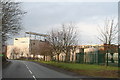
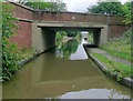

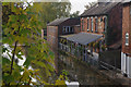
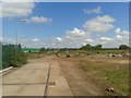
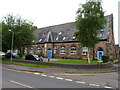
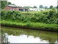
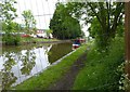
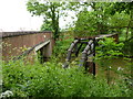
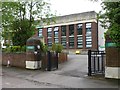
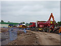
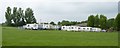
82 photos from this area
Area Information
Key information about the B60 4AL including its size, population, and administrative classification.
- Area Type
- Postcode
- Area Size
- 24.9 hectares
- Population
- 1275
- Population Density
- 1788 people/km²
House Prices in B60 4AL
21
Properties
£604,333
Average Sold Price
£213,000
Lowest Price
£800,000
Highest Price
Showing 21 properties
| Address | Type | Beds | Baths | Last Sale Price | Last Sale Date | |
|---|---|---|---|---|---|---|
| Brine Pump Cottage, Westonhall Road, Stoke Prior, B60 4AL | Office | - | - | £800,000 | Aug 2021 | |
| Weston Hall Court, Westonhall Road, Stoke Prior, B60 4AL | house | - | - | £800,000 | Aug 2021 | |
| Canal Cottage, Westonhall Road, Stoke Prior, B60 4AL | Detached | - | - | £213,000 | Aug 1999 | |
| Boomerang Support Services Limited, Suite 26, Greenbox, Westonhall Road, Stoke Prior, B60 4AL | office_workshop | - | - | - | - | |
| Electro Comm Digital Services Limited, Suite 35, Greenbox, Westonhall Road, Stoke Prior, B60 4AL | Office | - | - | - | - | |
| Quantum Risk Management Ltd, Suite 34, Greenbox, Westonhall Road, Stoke Prior, B60 4AL | office_workshop | - | - | - | - | |
| Ecoteric Limited, Suite 10 Ground Floor, Greenbox, Westonhall Road, Stoke Prior, B60 4AL | Office | - | - | - | - | |
| Suite 19, Greenbox, Westonhall Road, Stoke Prior, B60 4AL | office_workshop | - | - | - | - | |
| Suite 25, Greenbox, Westonhall Road, Stoke Prior, B60 4AL | office_workshop | - | - | - | - | |
| Graway Limited, Suite 12, Greenbox, Westonhall Road, Stoke Prior, B60 4AL | Office | - | - | - | - |
Page 1 of 3
Energy Efficiency in B60 4AL
Amenities
Schools
| Rank | School | Type | Entry gender | Ages |
|---|
Explore more schools in this area
Go to Schools tabDemographics
Household Size
Two person
most common
Accommodation Type
Houses
most common
Tenure
72
majority
Ethnic Group
White
most common
Religion
N/A
most common
Household Composition
N/A
most common
Age
47
median
Adults (30-64 years)
most common
Household Deprivation
N/A
with no deprivation
NS-SEC
35
in Lower managerial occupations
Explore more demographic insights in this area
Go to Demographics tabPlanning
Planning Constraints
- Flood RiskPremium
- Ramsar Wetland SitesPremium
- Area of Outstanding Natural BeautyPremium
- Protected Nature ReservePremium
- Protected WoodlandPremium