Area Overview for B60 3NU
Photos of B60 3NU
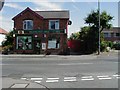
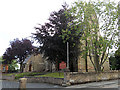
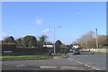
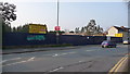
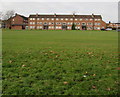
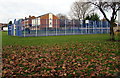
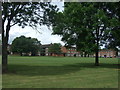
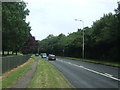
39 photos from this area
Area Information
Key information about the B60 3NU including its size, population, and administrative classification.
- Area Type
- Postcode
- Area Size
- 9181 m²
- Population
- 1618
- Population Density
- 6781 people/km²
House Prices in B60 3NU
37
Properties
£115,458
Average Sold Price
£48,000
Lowest Price
£185,000
Highest Price
Showing 37 properties
| Address | Type | Beds | Baths | Last Sale Price | Last Sale Date | |
|---|---|---|---|---|---|---|
| 13 Wesley Walk, Bromsgrove, B60 3NU | Terraced | 3 | 1 | £185,000 | May 2024 | |
| 7 Wesley Walk, Bromsgrove, B60 3NU | Terraced | 3 | 1 | £155,500 | Oct 2019 | |
| 1 Wesley Walk, Bromsgrove, B60 3NU | house | 3 | - | £145,000 | Jan 2019 | |
| 28 Wesley Walk, Bromsgrove, B60 3NU | Terraced | 3 | 1 | £161,000 | Sep 2018 | |
| 27 Wesley Walk, Bromsgrove, B60 3NU | Terraced | 3 | 1 | £125,000 | Jun 2016 | |
| 26 Wesley Walk, Bromsgrove, B60 3NU | Terraced | 3 | 1 | £115,000 | Jun 2014 | |
| 17 Wesley Walk, Bromsgrove, B60 3NU | house | 3 | - | £98,000 | Jul 2010 | |
| 4 Wesley Walk, Bromsgrove, B60 3NU | Terraced | - | - | £107,000 | Dec 2006 | |
| 10 Wesley Walk, Bromsgrove, B60 3NU | house | - | - | £99,000 | Apr 2004 | |
| 31 Wesley Walk, Bromsgrove, B60 3NU | house | - | - | £94,500 | Dec 2003 |
Page 1 of 4
Energy Efficiency in B60 3NU
Amenities
Schools
| Rank | School | Type | Entry gender | Ages |
|---|
Explore more schools in this area
Go to Schools tabDemographics
Household Size
Family (3-5 people)
most common
Accommodation Type
Houses
most common
Tenure
46
majority
Ethnic Group
White
most common
Religion
N/A
most common
Household Composition
N/A
most common
Age
47
median
Adults (30-64 years)
most common
Household Deprivation
N/A
with no deprivation
NS-SEC
27
in Lower managerial occupations
Explore more demographic insights in this area
Go to Demographics tabPlanning
Planning Constraints
- Flood RiskPremium
- Ramsar Wetland SitesPremium
- Area of Outstanding Natural BeautyPremium
- Protected Nature ReservePremium
- Protected WoodlandPremium