Area Overview for B60 2TG
Photos of B60 2TG
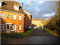
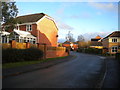
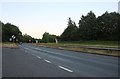
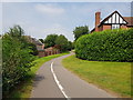
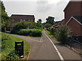
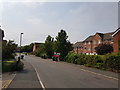
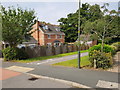
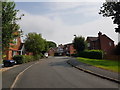
33 photos from this area
Area Information
Key information about the B60 2TG including its size, population, and administrative classification.
- Area Type
- Postcode
- Area Size
- 4536 m²
- Population
- 1855
- Population Density
- 5318 people/km²
House Prices in B60 2TG
6
Properties
£264,642
Average Sold Price
£169,950
Lowest Price
£477,000
Highest Price
Showing 6 properties
| Address | Type | Beds | Baths | Last Sale Price | Last Sale Date | |
|---|---|---|---|---|---|---|
| 125 Royal Worcester Crescent, Bromsgrove, B60 2TG | Detached | 4 | 1 | £351,000 | Jan 2018 | |
| 123 Royal Worcester Crescent, Bromsgrove, B60 2TG | Detached | 6 | 4 | £477,000 | Jun 2014 | |
| 133 Royal Worcester Crescent, Bromsgrove, B60 2TG | Detached | - | - | £225,000 | Sep 2005 | |
| 127 Royal Worcester Crescent, Bromsgrove, B60 2TG | Detached | 3 | 2 | £179,950 | May 2003 | |
| 131 Royal Worcester Crescent, Bromsgrove, B60 2TG | Detached | - | - | £169,950 | Nov 2002 | |
| 129 Royal Worcester Crescent, Bromsgrove, B60 2TG | house | - | - | £184,950 | Nov 2002 |
Energy Efficiency in B60 2TG
Amenities
Schools
| Rank | School | Type | Entry gender | Ages |
|---|
Explore more schools in this area
Go to Schools tabDemographics
Household Size
Family (3-5 people)
most common
Accommodation Type
Houses
most common
Tenure
93
majority
Ethnic Group
White
most common
Religion
N/A
most common
Household Composition
N/A
most common
Age
47
median
Adults (30-64 years)
most common
Household Deprivation
N/A
with no deprivation
NS-SEC
50
in Lower managerial occupations
Explore more demographic insights in this area
Go to Demographics tabPlanning
Planning Constraints
- Flood RiskPremium
- Ramsar Wetland SitesPremium
- Area of Outstanding Natural BeautyPremium
- Protected Nature ReservePremium
- Protected WoodlandPremium