Area Overview for B60 2DF
Photos of B60 2DF
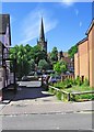
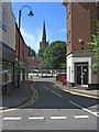
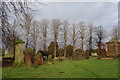
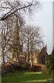
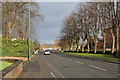
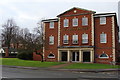
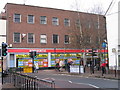
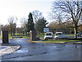
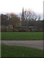
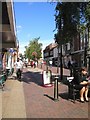
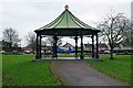
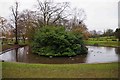
100 photos from this area
Area Information
Key information about the B60 2DF including its size, population, and administrative classification.
- Area Type
- Postcode
- Area Size
- 5722 m²
- Population
- 2038
- Population Density
- 2538 people/km²
House Prices in B60 2DF
7
Properties
£296,000
Average Sold Price
£153,500
Lowest Price
£600,000
Highest Price
Showing 7 properties
| Address | Type | Beds | Baths | Last Sale Price | Last Sale Date | |
|---|---|---|---|---|---|---|
| 12 The Crescent, Bromsgrove, B60 2DF | Semi-detached | 5 | 2 | £600,000 | Aug 2018 | |
| 18 The Crescent, Bromsgrove, B60 2DF | Semi-detached | - | - | £255,000 | May 2015 | |
| 16 The Crescent, Bromsgrove, B60 2DF | Semi-detached | - | - | £175,500 | Sep 2000 | |
| 20 The Crescent, Bromsgrove, B60 2DF | Detached | - | - | £153,500 | Dec 1999 | |
| 14 The Crescent, Bromsgrove, B60 2DF | Semi-detached | 6 | 2 | - | - | |
| The Court House, 19 The Crescent, Bromsgrove, B60 2DF | office_workshop | - | - | - | - | |
| The Old Police Station, 17 The Crescent, Bromsgrove, B60 2DF | office_workshop | - | - | - | - |
Energy Efficiency in B60 2DF
Amenities
Schools
| Rank | School | Type | Entry gender | Ages |
|---|
Explore more schools in this area
Go to Schools tabDemographics
Household Size
One person
most common
Accommodation Type
Houses
most common
Tenure
52
majority
Ethnic Group
White
most common
Religion
N/A
most common
Household Composition
N/A
most common
Age
47
median
Adults (30-64 years)
most common
Household Deprivation
N/A
with no deprivation
NS-SEC
30
in Lower managerial occupations
Explore more demographic insights in this area
Go to Demographics tabPlanning
Planning Constraints
- Flood RiskPremium
- Ramsar Wetland SitesPremium
- Area of Outstanding Natural BeautyPremium
- Protected Nature ReservePremium
- Protected WoodlandPremium