Area Overview for B60 1AU
Photos of B60 1AU
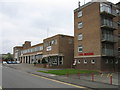
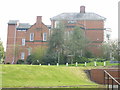
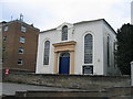
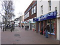
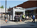
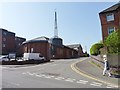
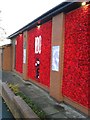
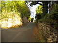
100 photos from this area
Area Information
Key information about the B60 1AU including its size, population, and administrative classification.
- Area Type
- Postcode
- Area Size
- 1.6 hectares
- Population
- 1514
- Population Density
- 974 people/km²
House Prices in B60 1AU
16
Properties
£359,972
Average Sold Price
£265,000
Lowest Price
£501,750
Highest Price
Showing 16 properties
| Address | Type | Beds | Baths | Last Sale Price | Last Sale Date | |
|---|---|---|---|---|---|---|
| 62 Stratford Road, Bromsgrove, B60 1AU | Detached | - | - | £405,000 | Jun 2020 | |
| 44 Stratford Road, Bromsgrove, B60 1AU | Detached | 3 | 1 | £461,000 | Jun 2019 | |
| 56 Stratford Road, Bromsgrove, B60 1AU | house | - | - | £501,750 | Jan 2018 | |
| 66 Stratford Road, Bromsgrove, B60 1AU | Detached | 4 | - | £315,000 | Aug 2015 | |
| 54 Stratford Road, Bromsgrove, B60 1AU | house | - | - | £329,000 | Oct 2010 | |
| 76 Stratford Road, Bromsgrove, B60 1AU | house | 4 | - | £265,000 | May 2010 | |
| 48 Stratford Road, Bromsgrove, B60 1AU | Semi-detached | - | - | £315,000 | Jun 2009 | |
| 46 Stratford Road, Bromsgrove, B60 1AU | Detached | 4 | 2 | £345,000 | Nov 2006 | |
| 64 Stratford Road, Bromsgrove, B60 1AU | Detached | - | - | £303,000 | Apr 2006 | |
| 70 Stratford Road, Bromsgrove, B60 1AU | house | - | - | - | - |
Page 1 of 2
Energy Efficiency in B60 1AU
Amenities
Schools
| Rank | School | Type | Entry gender | Ages |
|---|
Explore more schools in this area
Go to Schools tabDemographics
Household Size
Two person
most common
Accommodation Type
Houses
most common
Tenure
92
majority
Ethnic Group
White
most common
Religion
N/A
most common
Household Composition
N/A
most common
Age
47
median
Adults (30-64 years)
most common
Household Deprivation
N/A
with no deprivation
NS-SEC
47
in Lower managerial occupations
Explore more demographic insights in this area
Go to Demographics tabPlanning
Planning Constraints
- Flood RiskPremium
- Ramsar Wetland SitesPremium
- Area of Outstanding Natural BeautyPremium
- Protected Nature ReservePremium
- Protected WoodlandPremium